

The assignment at a glance
- Client
- Local authority
The assignment
- Aerial photography by drone.
- Restitution plans and orthophotos at 1/2000.
- Geographic database for planning.
The method
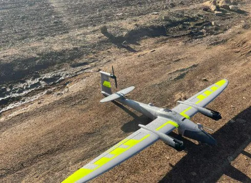
GNSS base set up on site for the ground control points, fixed-wing drone flown in regular strips, check against points measured on the ground before delivery.
Other projects
 Drone orthophotos at provincial scaleAerial photography, restitution plans at 1/2000 and orthophotos for an urban agency: method and deliverables.
The published information is limited to the nature of the assignment; the client's data remain confidential.