
Land surveyor in CasablancaLand, plans and construction sites across Morocco
Land registration and boundary surveys, regulatory topographic plans, title reconciliation and co-ownership, setting-out and structural monitoring, drone photogrammetry and laser scanning: our licensed surveyors prepare and sign technical documents compliant with ONIGT and ANCFCC standards, tied to the Lambert Morocco grid.
- ONIGT-registered sworn surveyor
- ONIGT and ANCFCC standards
- Lambert Morocco grid (Merchich datum)
- Reply within one working day
What do you need to do?
Pick your situation: we point you to the right document and the right procedure.
Build or extend
Lambert-referenced topographic and location plans required for the building permit application.
Sell or divide land
Technical file for land division, merger, subdivision or housing group (Law 25-90).
Obtain a land title
Survey work for land registration: plan, boundary survey and technical file under ANCFCC standards.
Update a title, sell apartments
Title reconciliation with the building and co-ownership file (Law 18-00): plans, area schedules and shares.
Recover your boundaries
Boundary markers re-established from the cadastral plan and area computation, with certificate and plan.
Distance measurement file (chaînage)
Pharmacy, tobacco shop, driving school, vehicle inspection centre: regulatory distance measurement.
Undeveloped land tax (TNB)
Taxable area of undeveloped land determined, with certificate and plan.
Start and monitor a site
Setting-out of structures, geometric checks, volumes and as-built plan.
Survey a building or a site
Drone photogrammetry, 3D laser scanning, point clouds and as-built surveys.
Individuals and professionals
Owners and buyers
- Topographic plan for the building permit
- Land registration, division, boundary markers
- Title reconciliation and co-ownership of a building
- Chaînage: pharmacy, tobacco, driving school, vehicle inspection; land tax
Professionals and public bodies
- Architects and design offices — topographic plans, as-built surveys, setting-out
- Developers — subdivisions, co-ownership, title reconciliation, handover
- Notaries and lawyers — land division, partition plans, boundary markers
- Construction companies — setting-out, site monitoring, volumes, as-built plans
- Public administrations — parcel schedules, orthophotos, infrastructure surveys
Reliable, signed and compliant documents
Signed by a sworn surveyor
Plans, certificates and technical files are prepared under the responsibility of a land surveyor registered with the ONIGT and sworn before the Court of First Instance, a profession governed by Law 30-93.
Professional standards
Every deliverable applies ONIGT technical standards and, for land files, ANCFCC standards: tolerances, referencing, presentation.
Checked before delivery
Scale, coordinate system, title block, areas and consistency between plans and written documents are checked before signature.
The right equipment
GNSS receivers, total stations, drones and laser scanners: the measuring method is chosen for the required accuracy.
How your file is handled
Your request
You describe the assignment and send the documents: property certificate, building permit, approved “ne varietur” plan.
The quote
We analyse the documents and the land status of the property, then send you a detailed quote.
The field survey
The survey crew carries out the survey, tied to the Lambert Morocco grid (Merchich datum).
The deliverables
Plans, certificates and DWG files, checked then signed, delivered in the format required for filing.
Five fields, from land files to construction sites
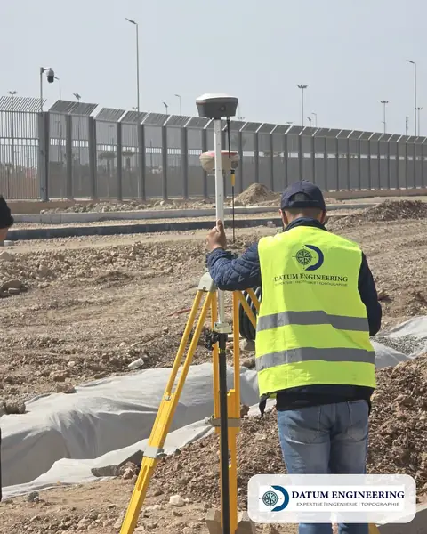
Topographic plans
Construction and monitoring
Drone, 3D and as-built
Measurements and expertise
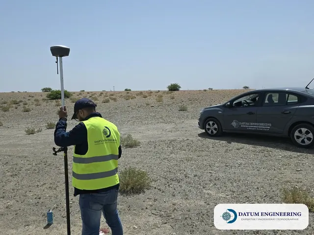
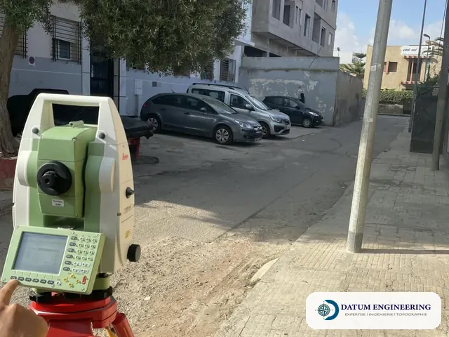
In the field

Projects
A selection of assignments, presented anonymously: context, method and deliverables.

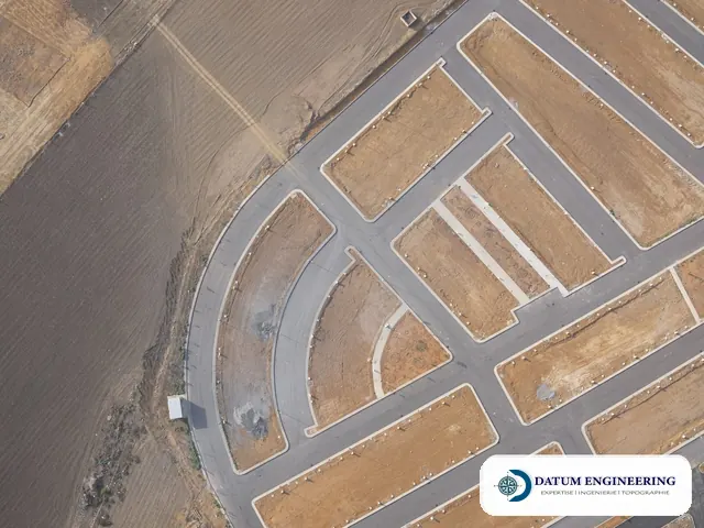
Drone orthophotos at provincial scale

Survey and capacity calculation of a basin
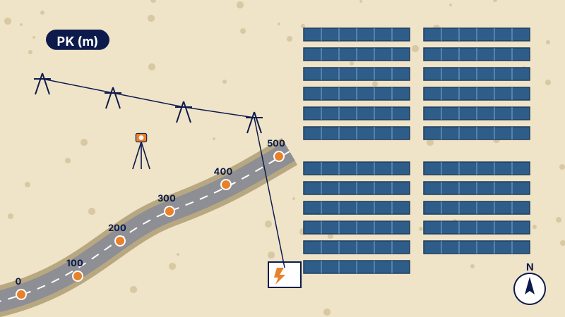
Access road survey for solar plants
They trust us













Practical guides
Understand the procedure before starting your file.
Land registration: the steps
Application, publication, boundary survey, objections and land title under the 1913 dahir as amended by Law 14-07.
Read the guideThe topographic plan
What a topographic plan contains under ONIGT standard 03 and the files handed to the architect.
Read the guideTitle reconciliation and co-ownership
Does your title still describe bare land? Steps, documents and the surveyor's role.
Read the guideFrequently asked questions
Who prepares the topographic plan for a building permit?
A land surveyor registered with the ONIGT. The plan is tied to the Lambert coordinate system and signed.
What is the difference between a location plan and a topographic plan?
A location plan places the land within its surroundings; it does not prove ownership. A topographic plan describes the land itself: boundaries, markers, buildings, levels and contour lines, tied to the Lambert grid.
Who can prepare a distance measurement file (pharmacy, driving school, vehicle inspection centre…)?
A land surveyor registered with the ONIGT and sworn before the Court of First Instance. Distances are measured in the field and tied to the Lambert Morocco grid (Merchich datum).
Which documents should I prepare?
The property certificate, the building permit and the approved “ne varietur” plan. We specify any additional documents when we study the file.
My boundary markers are gone: what should I do?
The surveyor re-establishes them from the cadastral plan and the title's area computation, then issues a certificate with a plan.
Do you work outside Casablanca?
Yes. The firm is based in Aïn Sebaâ and works throughout the Casablanca-Settat region and across Morocco.
How much does a survey cost?
Each file is priced on a quote, after studying the request and documents: area, type of land and expected deliverables.
Based in Aïn Sebaâ, we work in the 16 districts of Casablanca, the Casablanca-Settat region and across Morocco. Our service areas
Tell us about your project
Our team studies your request and replies within one working day.
- AddressBest Business Centre, No. 21, 1st floor, Office 10, corner of Bd Hadj Mekouar and Allée de la Plage, Aïn Sebaâ – Casablanca
Open in Google Maps - Phone+212 6 61 17 96 24
- WhatsApp+212 6 61 17 96 24
- EmailDatum@datum-engineering.ma
- Opening hoursMonday – Friday: 8:30 am – 6:00 pm · Saturday: 9:00 am – 1:00 pm