
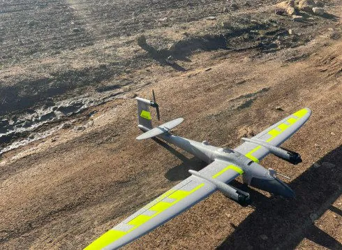
The assignment at a glance
- Client
- Urban agency
The assignment
- Aerial photography of the entire area.
- Georeferenced orthophotos.
- Restitution at 1/2000, then reduction to 1/5000 for the local authorities.
The method
Flights in parallel strips with overlap, ground control points measured on the ground to fit the images to the Lambert Morocco (Merchich datum) system, restitution of buildings, roads and features relevant to planning.
Other projects
 Drone orthophoto of a municipal centreDrone photography, restitution plans and orthophotos at 1/2000 of a municipality's centre: method and deliverables.
 3D scan and 3D model of a natural siteHigh-density 3D model of a coastal natural site by laser scanner and drone, tied to the NGM, with report and viewer.
The published information is limited to the nature of the assignment; the client's data remain confidential.