
Which plan for which need?
| Document | What it is for | Who asks for it | Reference |
|---|---|---|---|
| Location plan | Locating the land within its neighbourhood or municipality | Municipality, urban agency, administrations | Guide |
| Topographic plan | Knowing the relief, boundaries and buildings before design | Architect, design office, building permit file | ONIGT Standard 03 |
| Alignment plan | Locating the land in relation to the roads of the zoning plan (setback) | Municipality and urban agency, before the permit | ONIGT Standard 06 |
| Parcel plan and schedule | Listing the parcels affected by a project and their areas | Public project owners, design offices | ONIGT Standard 02 |
| As-built survey | Describing a building as it stands: levels, areas | Architect, bank, co-ownership | Guide |
| As-built plan | Describing the structure as actually built | Project owner, acceptance of works | ONIGT Standard 08 |
| Partition plan | Dividing land between heirs or partners | Heirs, notary, adoul | Guide |
Practical guides
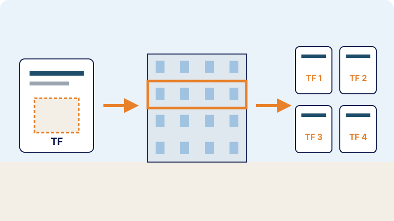 Title reconciliation and co-ownership: how to obtain a land title for each apartmentLand title still describing bare land? Title reconciliation, co-ownership (Law 18-00): steps, documents and the land surveyor's role.
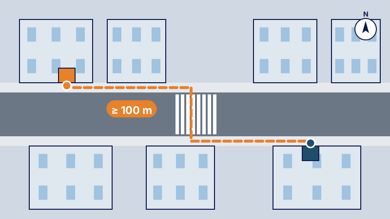 Opening a tobacco shop: how the distance to neighbouring tobacco shops is measuredOpening a tobacco shop in Morocco: 100, 300 or 500 m distance, pedestrian route measured under ONIGT Standard 14, and documents required.
 Opening a pharmacy: the 300-metre rule and the measurement fileOpening a pharmacy in Morocco: 300 m distance in a straight line, requirements for the premises and measurement plan under ONIGT Standard 13.
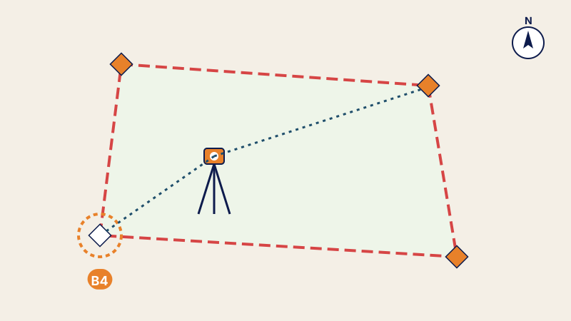 Re-establishment of boundary markers: recovering the exact boundaries of your landMarker torn out or boundary disputed: how the surveyor re-establishes a land title's boundary markers, documents required and procès-verbal issued.
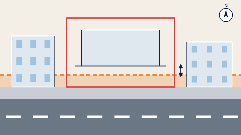 Alignment plan: knowing where to build in relation to the public roadAlignment plan: setback, planned road and public right-of-way before the building permit, based on the zoning plan in force.
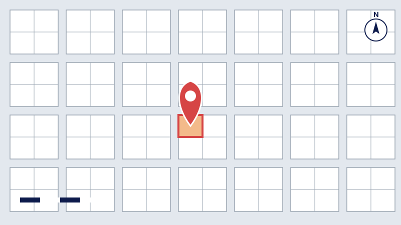 Location plan: locating a plot precisely for the administrationLocation plan for a building permit or an administrative application: purpose, scale, content and tie-in to the Lambert system.
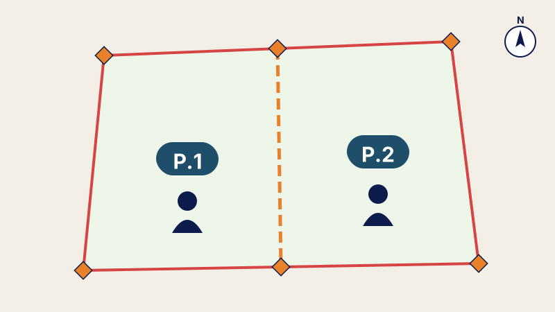 Partition plan: dividing land between heirs or partnersEnding joint ownership: partition plan of a plot between heirs or partners, equivalent lots, land division and new land titles.
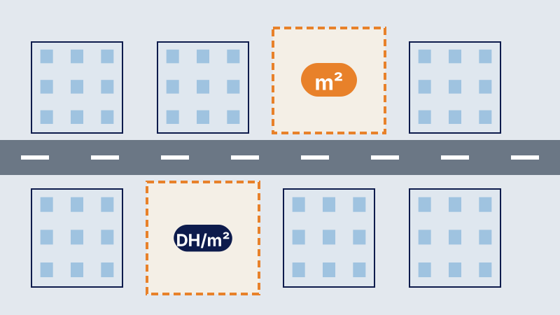 Tax on undeveloped land (TNB): what Law 14-25 changesTax on undeveloped urban land: Law 14-25 rates, zones, exemptions and computation of the taxable area by a land surveyor.
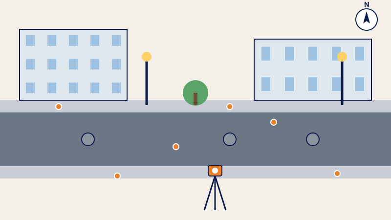 Road and utility survey, as-built plan: surveying the street before and after the worksStreet survey before works and as-built plan after construction (ONIGT Standard 08): what is surveyed, limitations and deliverables for the design office.
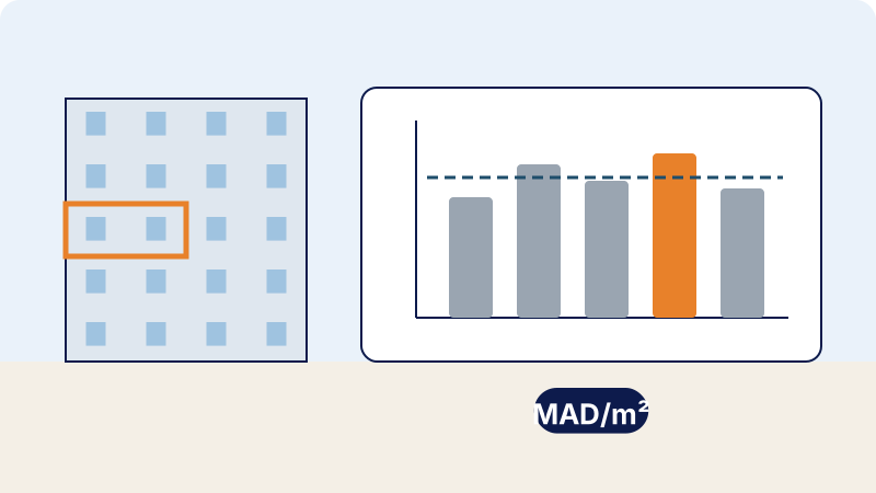 Property valuation: how the value of an apartment or a plot of land is estimatedInheritance, sale, partition or loan: how the market value of an apartment or a plot of land is estimated in Morocco, methods and documents.
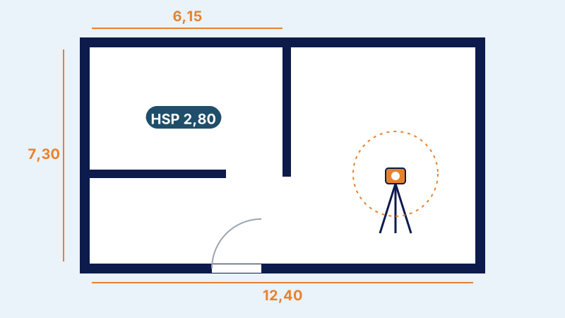 Interior survey: obtaining accurate plans of the existing buildingInterior survey of an apartment, premises or a building: plans of each level, areas, heights and files delivered to the architect.
 Scan to BIM: capturing an existing building up to its 3D modelCapturing an existing building with a 3D laser scanner: point cloud, plans, sections and BIM model, georeferencing and quality control.
 Parcel plan: knowing who owns what within a project's land takeParcel plan and parcel schedule: identifying the land affected by a project, the areas taken and the land status of each parcel.
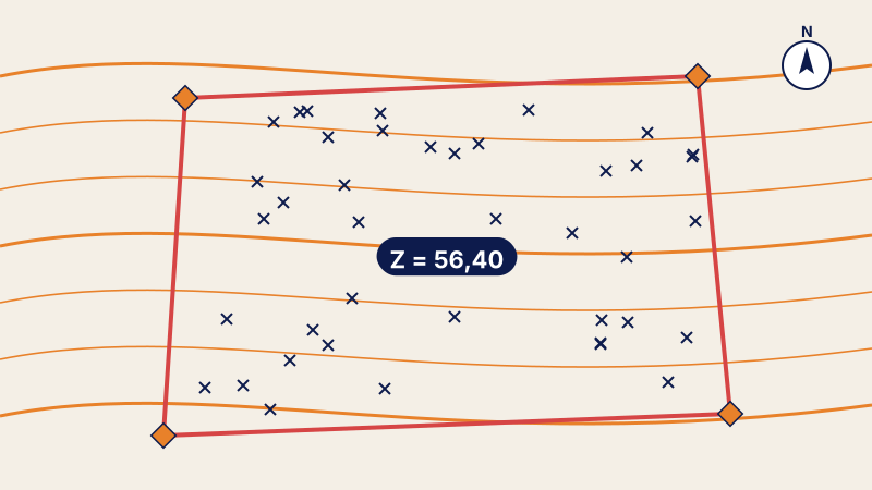 Topographic plan: knowing your land before buildingTopographic plan of a plot under ONIGT Standard 03: survey tied to Lambert and NGM, contour lines, spot heights and files delivered to the architect.
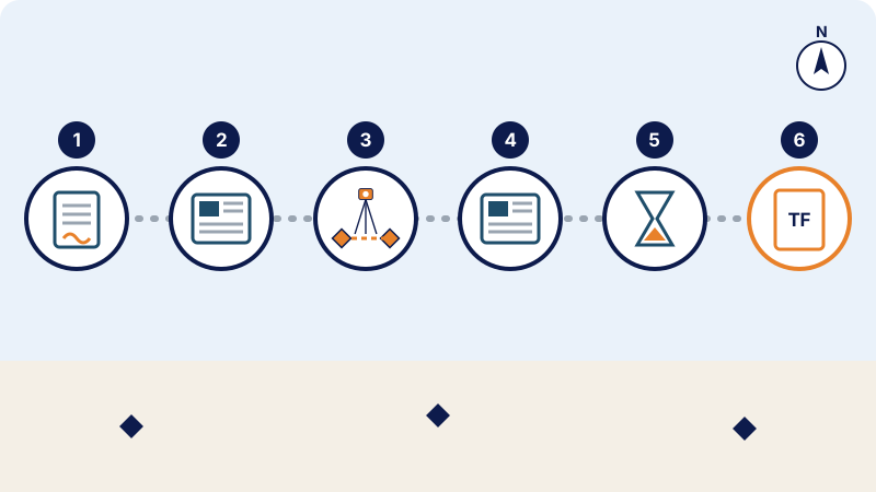 Land registration in Morocco: the steps, from the réquisition to the land titleRéquisition, publication, boundary survey, objections and land title: the steps of land registration in Morocco under the 1913 dahir as amended by Law 14-07.