
 Drone orthophotos at provincial scaleAerial photography, restitution plans at 1/2000 and orthophotos for an urban agency: method and deliverables.
 Drone orthophoto of a municipal centreDrone photography, restitution plans and orthophotos at 1/2000 of a municipality's centre: method and deliverables.
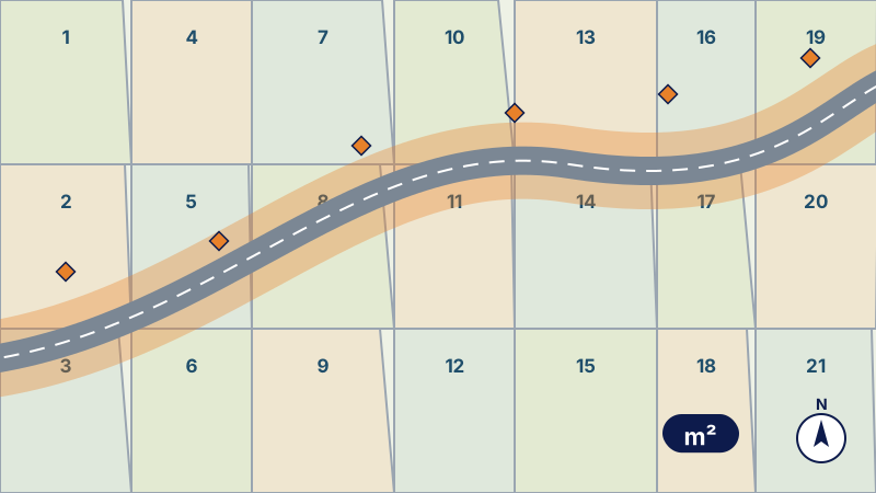 Parcel schedule for an urban transport lineAffected areas, additional survey, parcel enquiry and schedule, and land files for an urban transport project.
- Parcel schedule for a road bypassParcel plan and schedule for the route of a road bypass, land registry consultations and topographic plan of the corridor.
 3D scan and 3D model of a natural siteHigh-density 3D model of a coastal natural site by laser scanner and drone, tied to the NGM, with report and viewer.
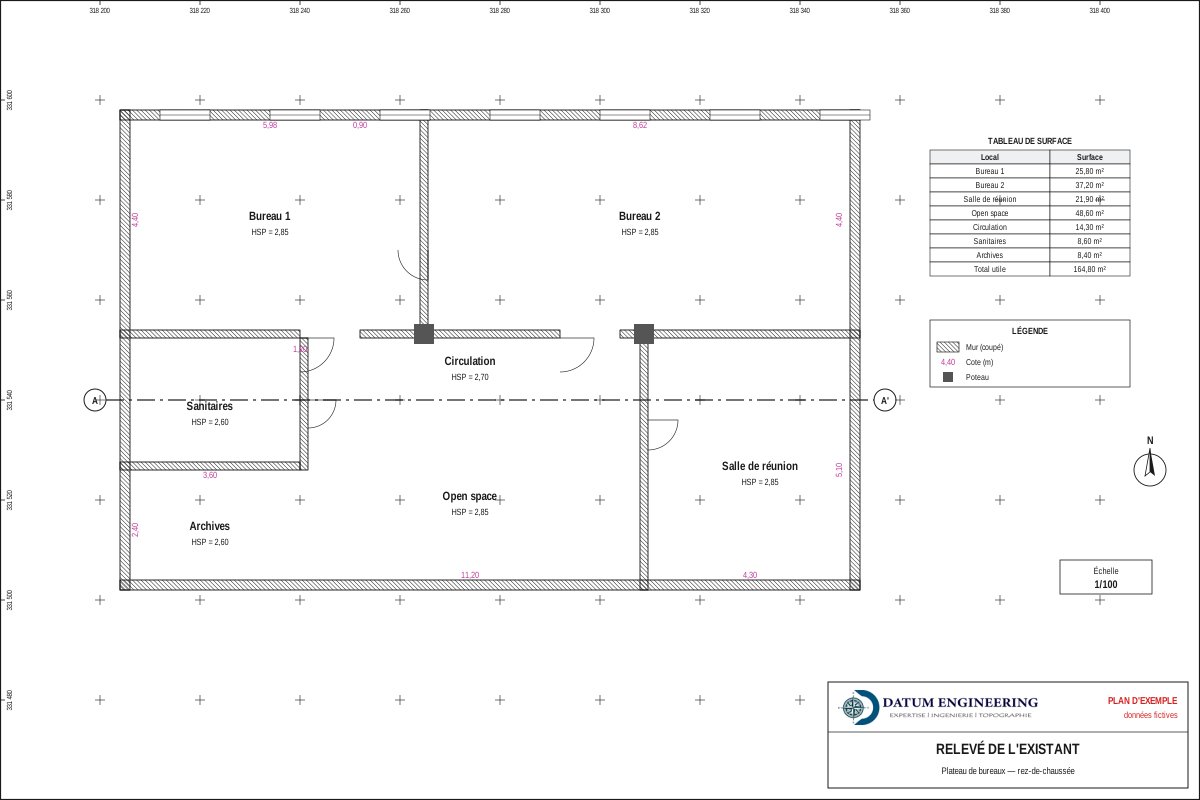 As-built survey of a branch networkAs-built survey and technical files to update the premises of a branch network: method and deliverables.
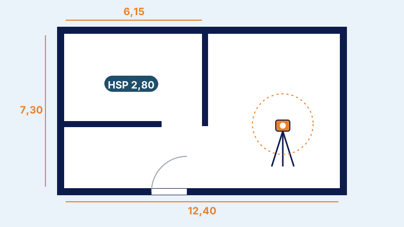 Architectural and 3D survey of a buildingSurvey of the façades and interiors of all floors, 3D modelling and dimensioned plans of a building before renovation.
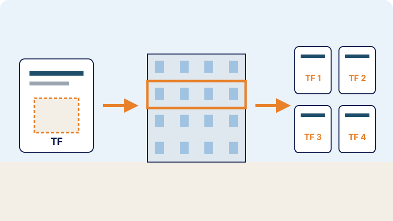 Title reconciliation for public institutionsTitle reconciliation files for public institutions, from the survey of existing conditions to the filing receipt.
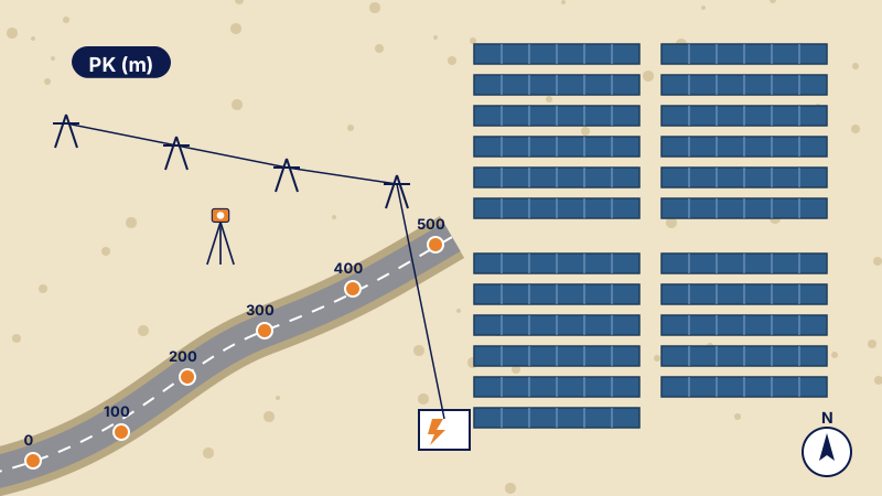 Survey of access roads to solar plantsTopographic survey of the access roads to solar plants and their connection lines: method and deliverables.
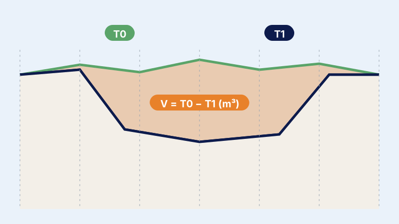 Topographic control of earthworksTopographic control of the earthworks of a major facility: survey crew on site, checks and regular reports.
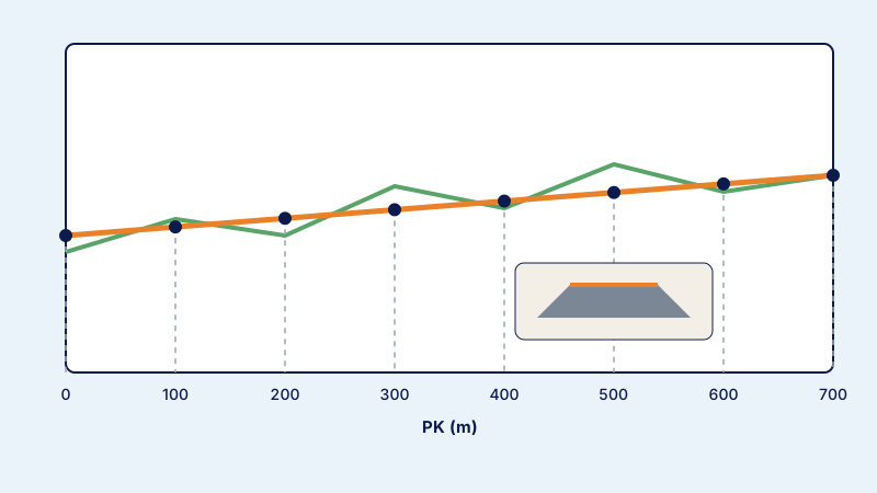 Topographic monitoring of a quarry roadDaily topographic monitoring of the construction of a quarry access road: setting-out, profiles and checks.
 Industrial building setting-out and monitoringInitial and final topographic plans, setting-out of axes and steel frame, and earthworks volumes for a building.
 Survey and capacity calculation of a basinAccurate topographic survey of a basin and calculation of its capacity to assess its sizing: method and deliverables.
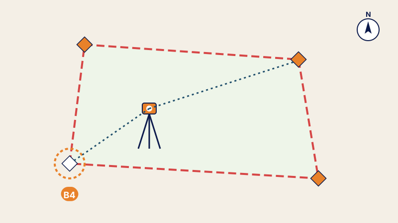 Cadastral matters: technical filesFiles for land registration, title reconciliation, co-ownership, subdivision, land division and merger.