
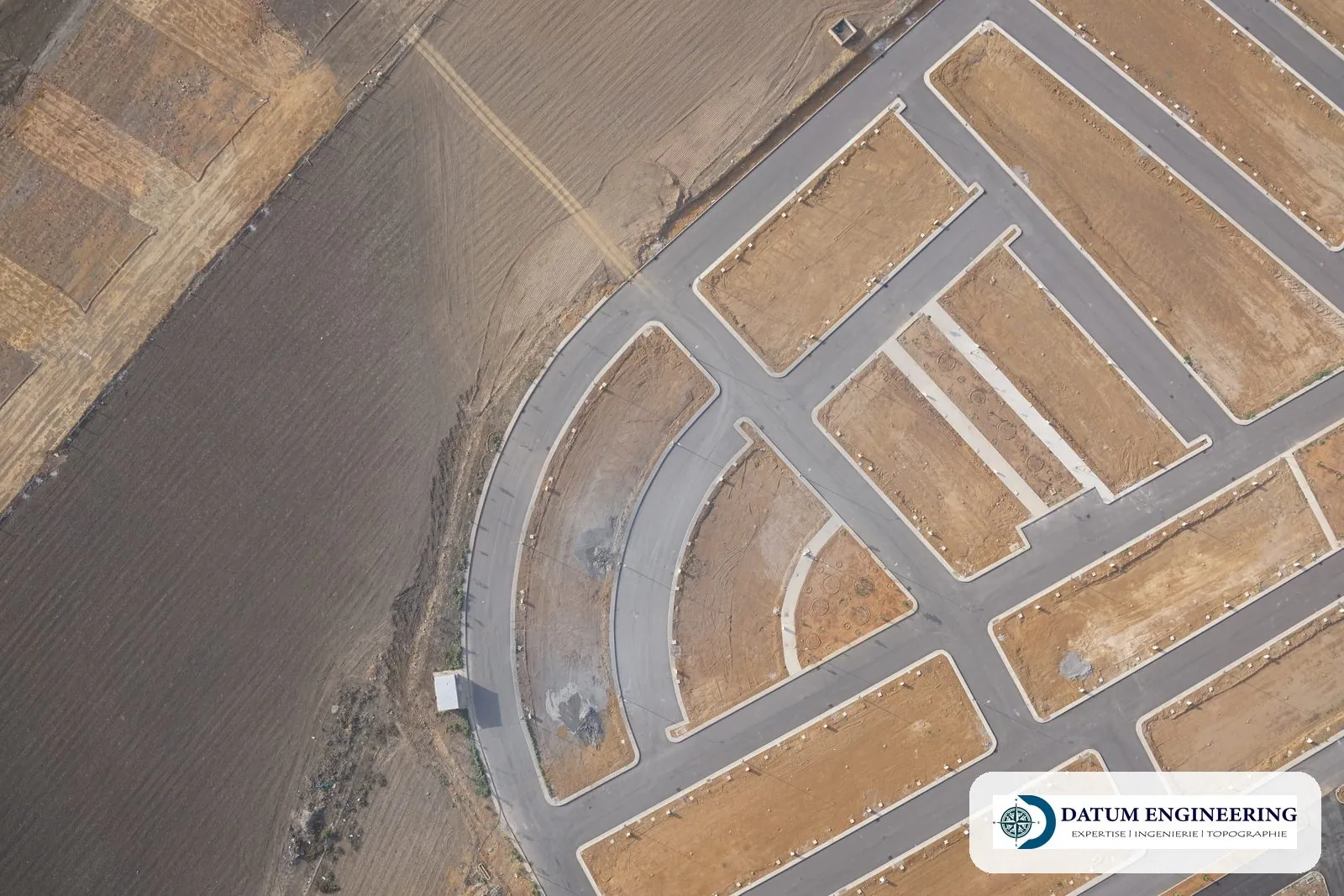
For whom
- Urban agencies and municipalities.
- Planning consultancies.
- Large landowners.
Our work
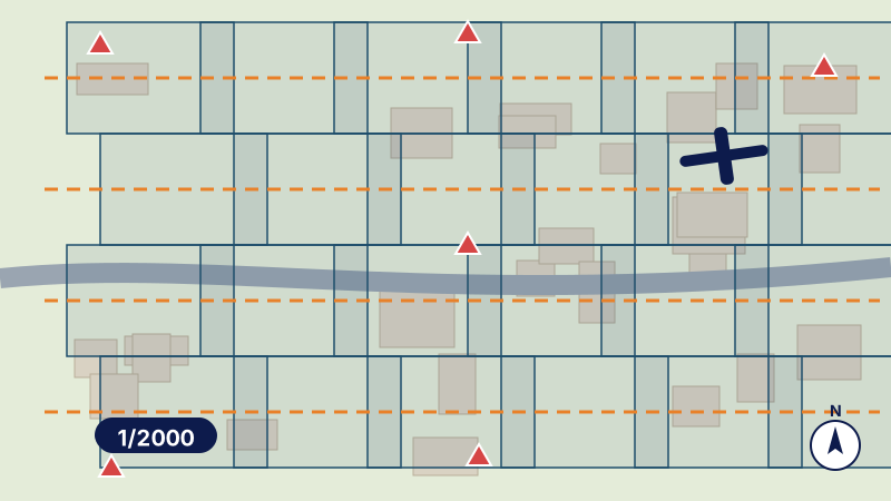
- Aerial photography. Parallel strips with overlap, at the target scale.
- Ground control points. Measured by GNSS.
- Orthophoto. Aerial triangulation and orthomosaic.
- Restitution. Buildings, roads, boundaries, vegetation, at the required scale.
Examples of assignments
- Urban centre for a town planning document
- 1:2000 restitution of a municipality
- Aerial monitoring of a construction site
What you receive
- Orthophotos (GeoTIFF, ECW)
- Restitution plans in DWG and PDF
- Check report
Reference framework
- Client's specifications
- Tolerances of the ONIGT (National Order of Surveying Engineers)
Where we work
Based in Casablanca (Aïn Sebaâ), the firm carries out this service throughout Morocco: Greater Casablanca, Rabat-Salé-Témara, Fès, Tangier, Agadir, the Oriental and the South. Its survey crews travel to the site for the duration of the assignment.
Projects of the firm
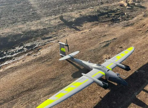 Drone orthophotos at provincial scaleAerial photography, restitution plans at 1/2000 and orthophotos for an urban agency: method and deliverables.
 Drone orthophoto of a municipal centreDrone photography, restitution plans and orthophotos at 1/2000 of a municipality's centre: method and deliverables.
Frequently asked questions
Which scale?
Commonly 1:2000, reduced to 1:5000 for an overall view.