
Land and cadastre
 Land registration: from melk land to a land titleObtaining a land title for melk land: survey, description of the boundaries and adjoining owners, boundary survey, follow-up of the réquisition up to the title.
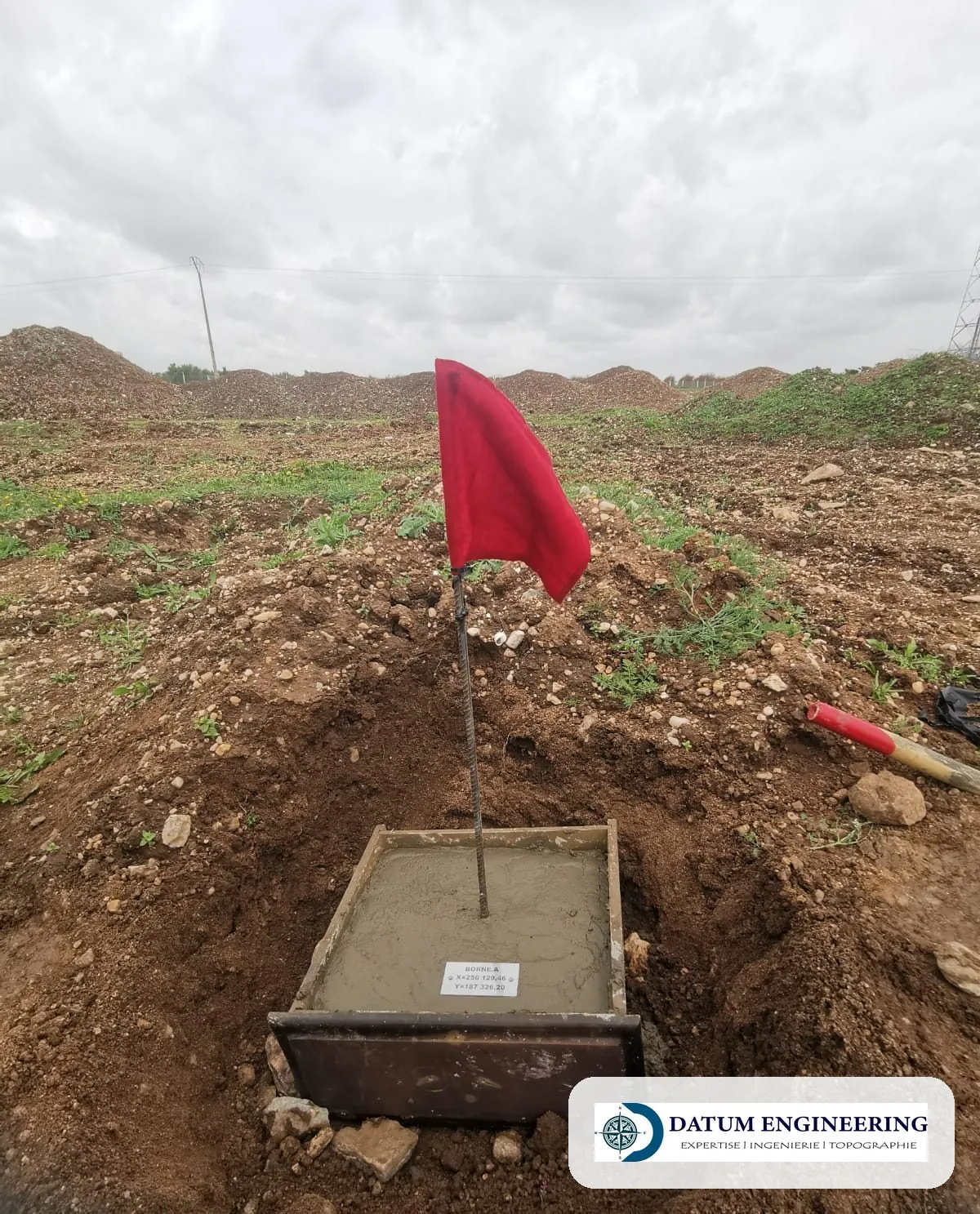 Re-establishment of the boundary markers of a land titleMarkers pulled out or boundary disputed: re-establishing the boundary markers of a land title from its coordinates, procès-verbal and plan (ONIGT Standard 05).
 Land division and merger of land titlesDetaching part of a land title to sell or donate it, or merging adjoining titles: technical file filed with the Cadastre.
 Subdivisions and housing groupsSubdivision from design to acceptance: survey control, setting-out of the plots, staking of roads and utilities, as-built survey and one land title per plot.
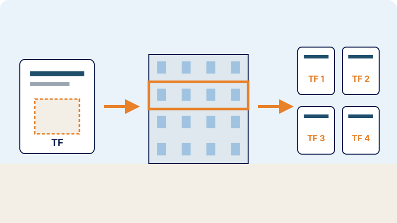 Title reconciliation: bringing the land title in line with the buildingHaving the land title describe the buildings actually erected: survey, plan, procès-verbal and schedules of areas (ANCFCC Standard 02).
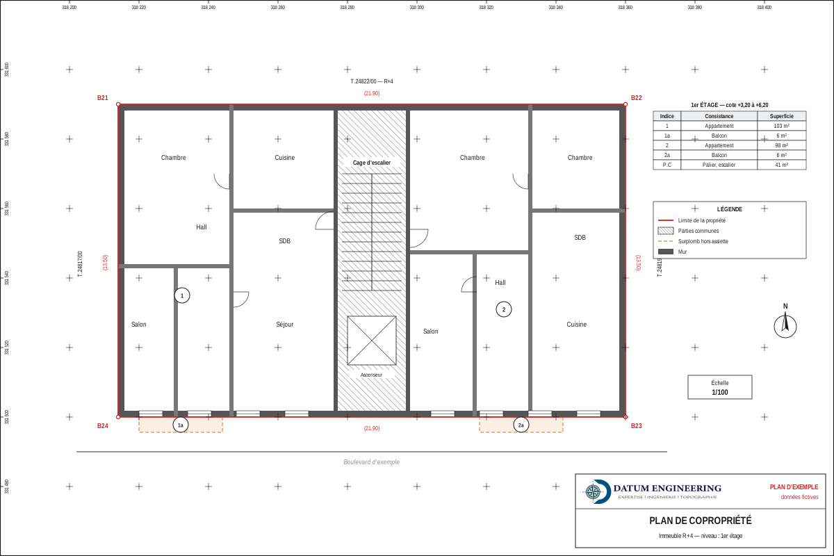 Co-ownership file: one land title per apartmentOne land title per apartment, shop or office: plans per level, descriptive procès-verbal, tables A and B, shares (Law 18-00, ANCFCC Standard 03).
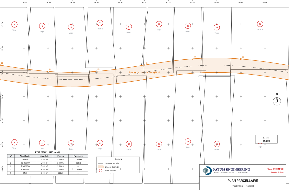
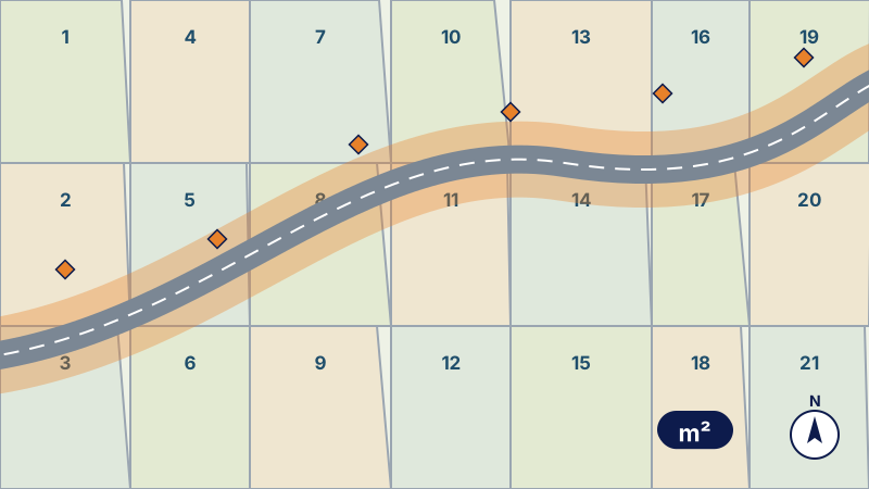 Parcel plans and parcel schedules for expropriationLand take of a road or urban project: parcel survey and parcel schedule, land registry searches and a file per plot (Law 7-81).
Topographic plans
 Topographic plan of a siteTopographic plan of a site tied to Lambert and NGM: boundaries, elevations, contours and details, for the architect and the building permit (Standard 03).
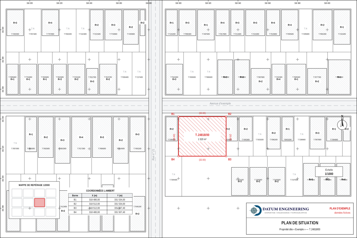 Location plan of a siteLocation plan of a site for a building permit or an administrative application, tied to the Lambert system, at the required scale.
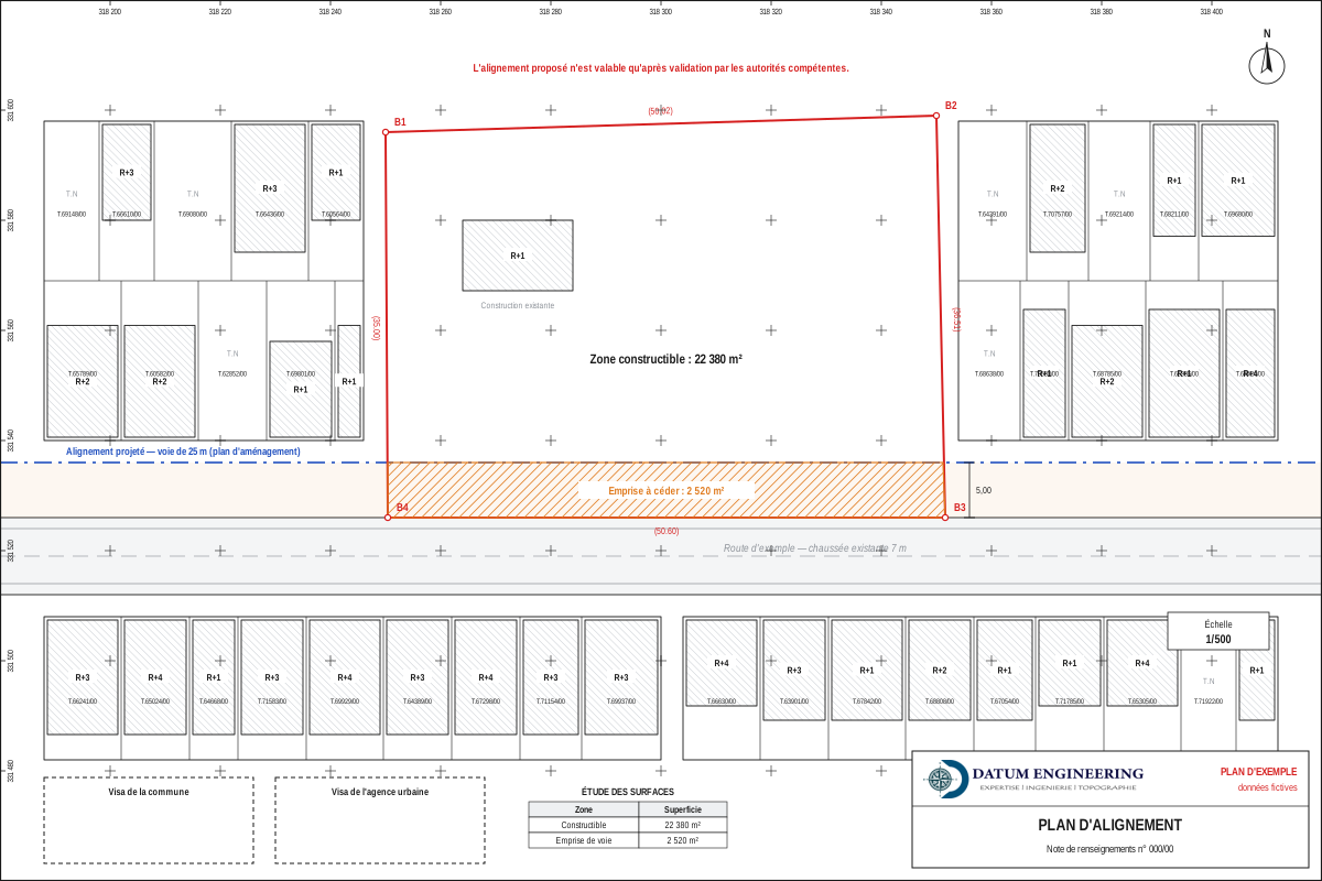 Alignment plan: the boundary with the public roadAlignment plan of a site in relation to the roads of the zoning plan: setback, public land take, buildable part (ONIGT Standard 06).
Construction sites, infrastructure and structural monitoring
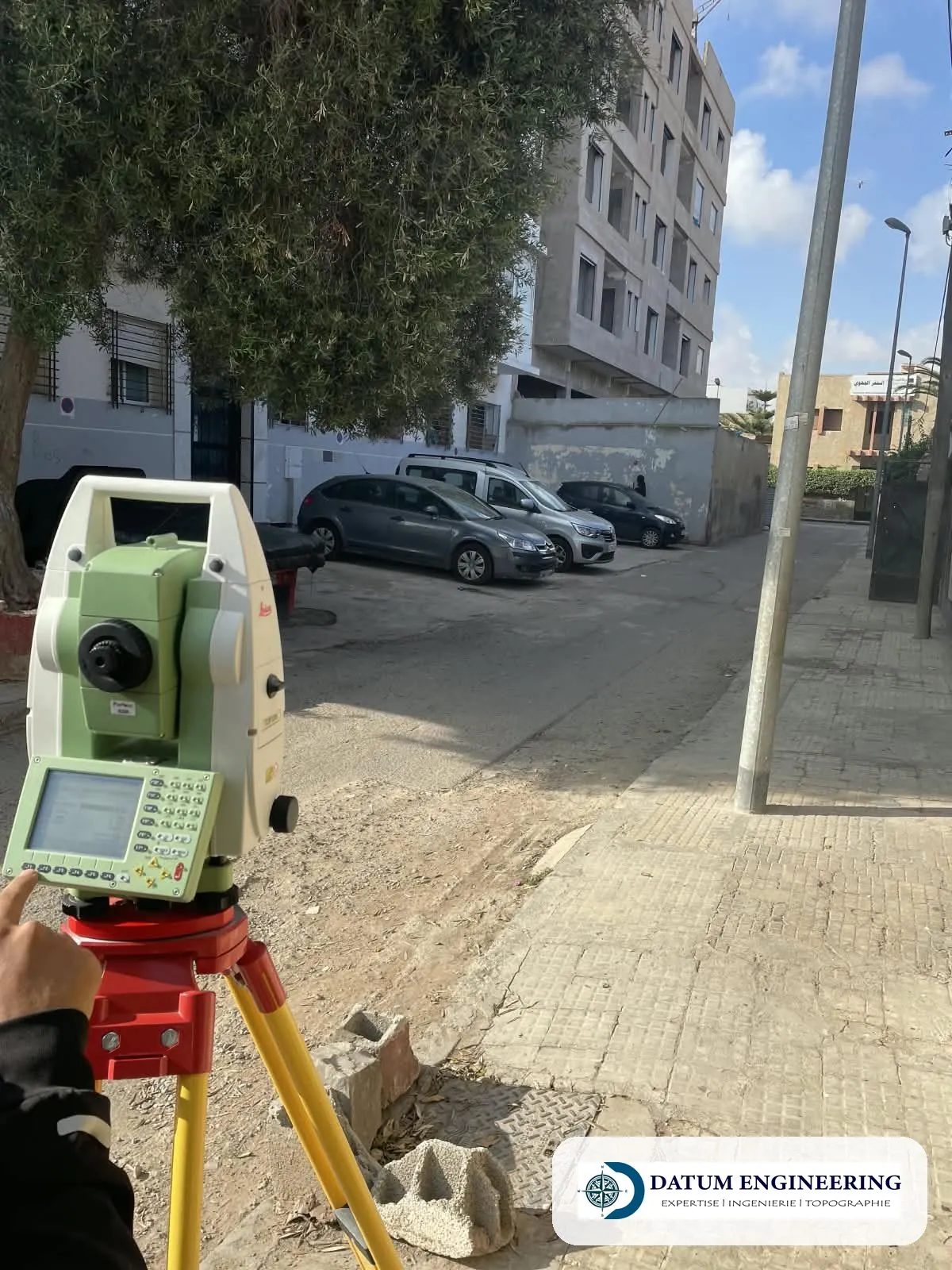 Setting-out of a building on siteSetting-out of a villa, an apartment building or an industrial building: grid lines, block corners, threshold levels, steel frame footings (ONIGT Standard 07).
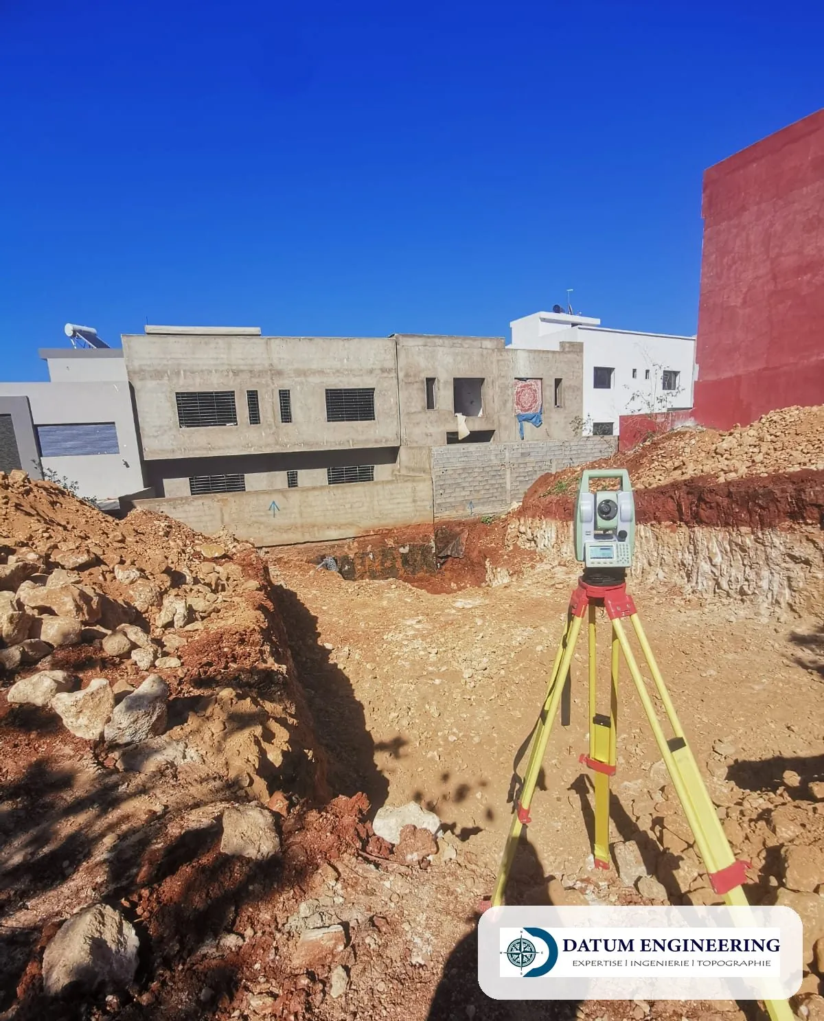 Topographic site monitoringTopographic control during the works: check of grid lines before concreting, threshold levels, verticality, earthworks (ONIGT Standard 10).
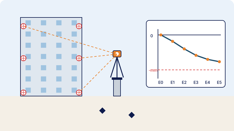 Topographic monitoring of structuresMonitoring of settlement, displacement and verticality of buildings, retaining structures and dykes: targets, periodic campaigns and monitoring sheets.
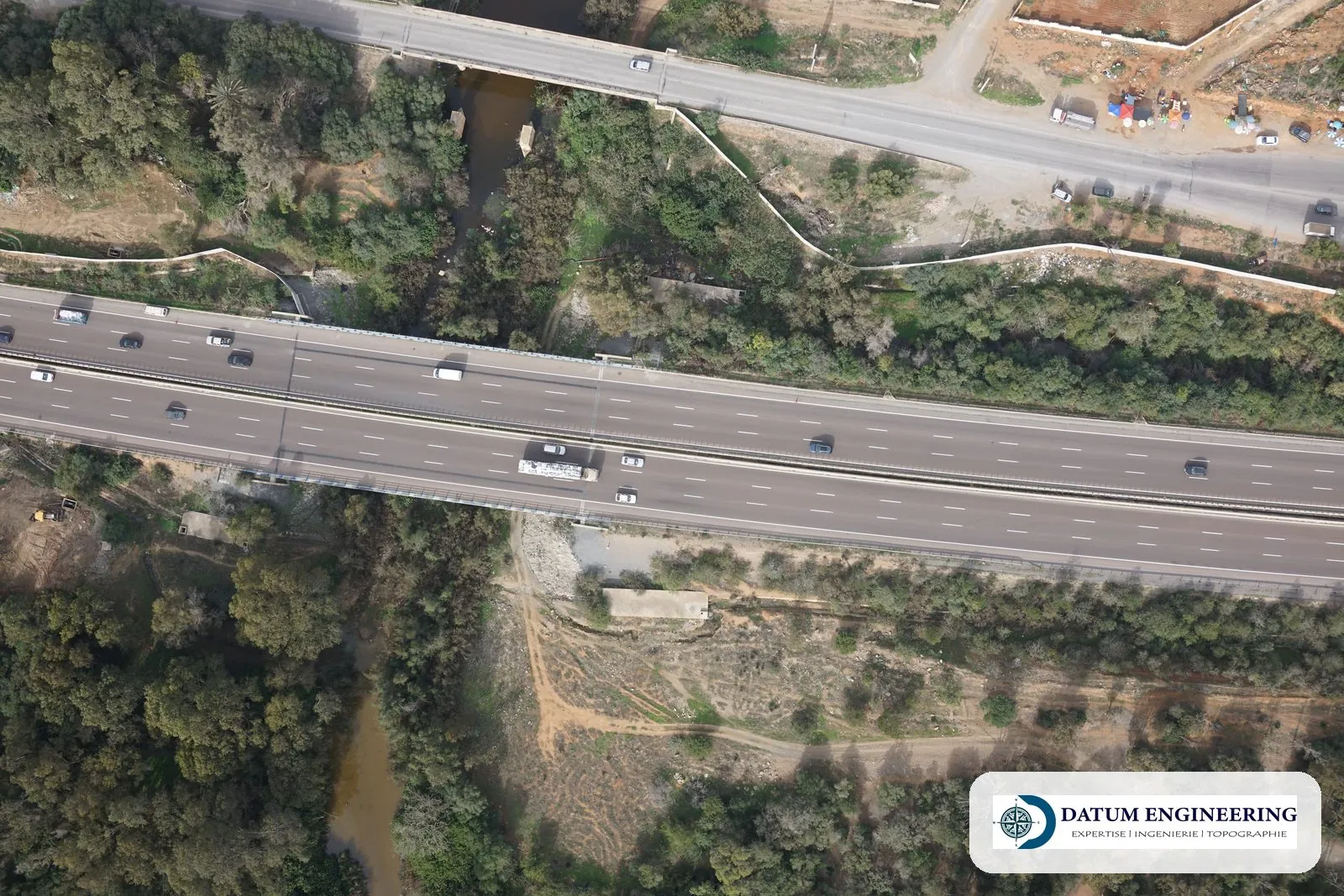 Survey monitoring of roads, tracks and networksRoads, tracks, utilities (VRD), ports and tunnels: traverse, staking out, profiles, layer checks and as-built plans (ONIGT Standards 08, 10 and 11).
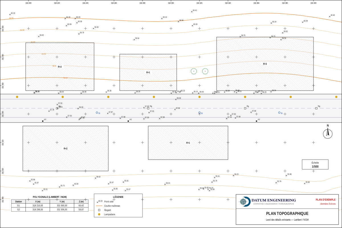 As-built plan: the structure as constructedAs-built plan at the end of works: structures actually built compared with the design, coordinates of manholes and networks (ONIGT Standard 08).
 Volume computation: earthworks, stockpiles and basinsCut and fill, stockpile volumes or basin capacity: successive surveys, DTM, cross-sections and summary sheet.
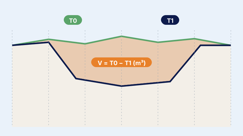 Quarry survey and computation of extracted volumesRegular survey of a quarry, profiles and computation of the volumes extracted between two surveys for the operator or official control (ONIGT Standard 12).
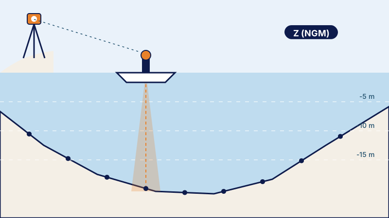 Bathymetric survey: the relief under waterBathymetric survey of dam reservoirs, ports, lakes and basins: soundings tied to the NGM, DTM of the bed, siltation and capacities.
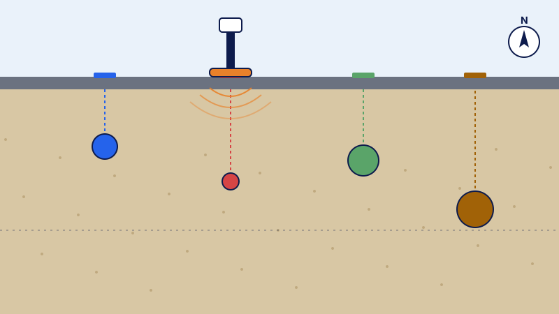 Detection and georeferencing of buried utilitiesLocating buried utilities before works: electromagnetic detection and ground-penetrating radar, ground marking, georeferenced utility plan.
Drone, 3D scanning and as-built surveys
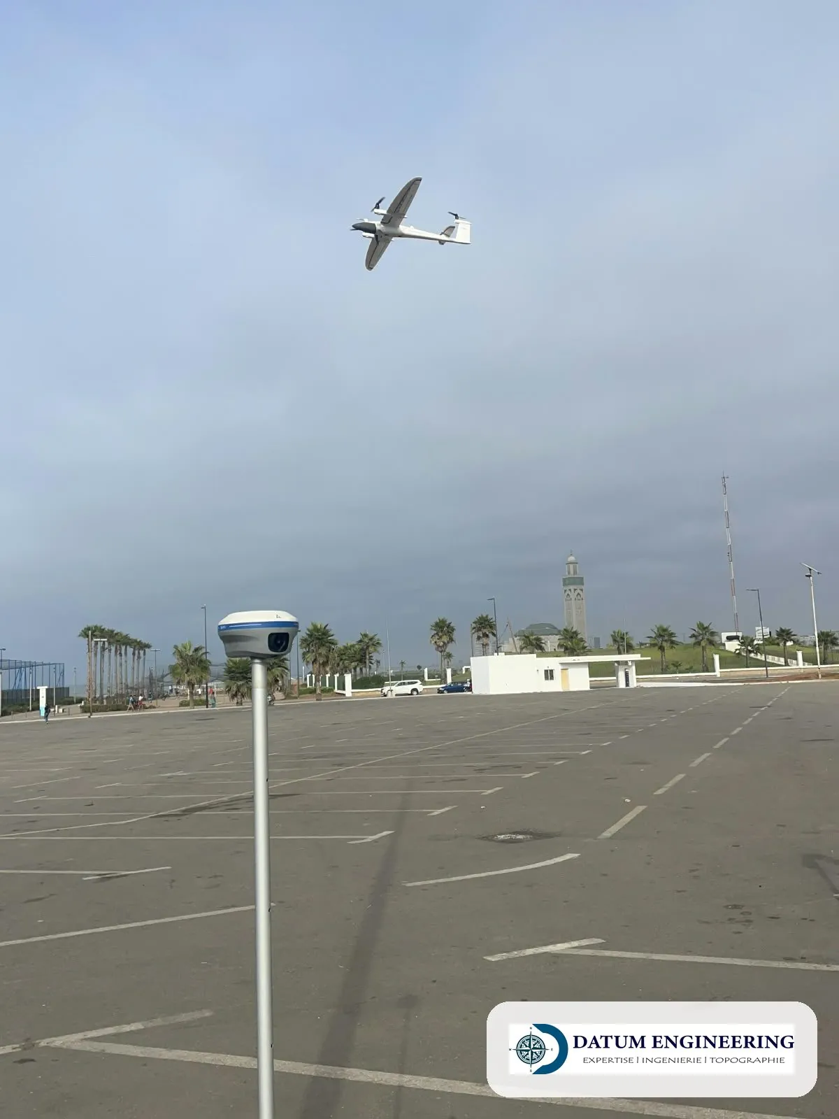 Topographic drone surveyDrone survey of large sites and corridors: DTM, contour lines, point cloud and LiDAR, tied to ground control points.
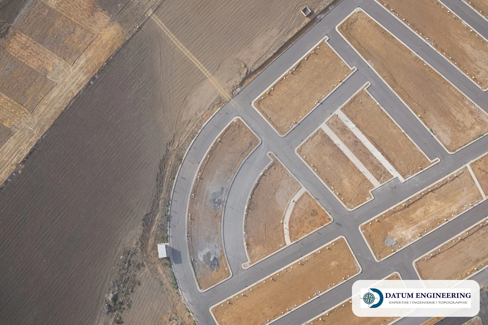 Orthophotos and restitution plansAerial photography, georeferenced orthophotos and restitution plans at 1:2000 or 1:5000 for town planning and land-use planning.
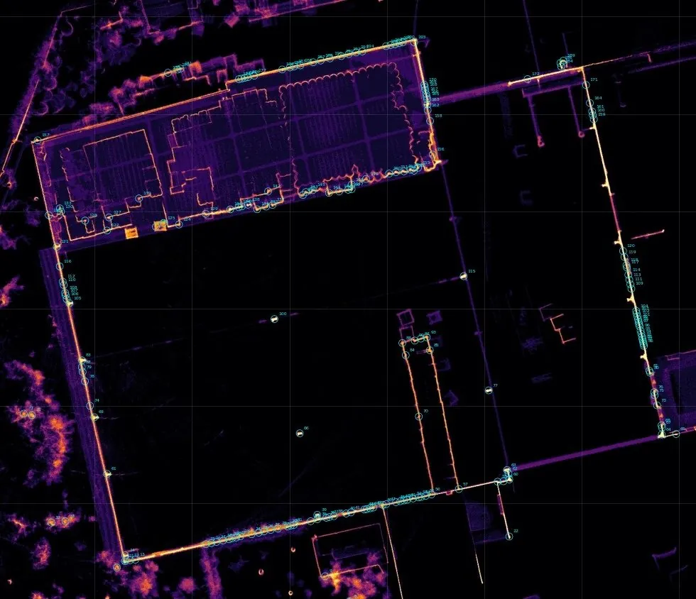 3D scanning and point clouds3D capture by static laser scanner or mobile LiDAR: point clouds, plans, sections and 3D models of buildings, industrial sites and heritage.
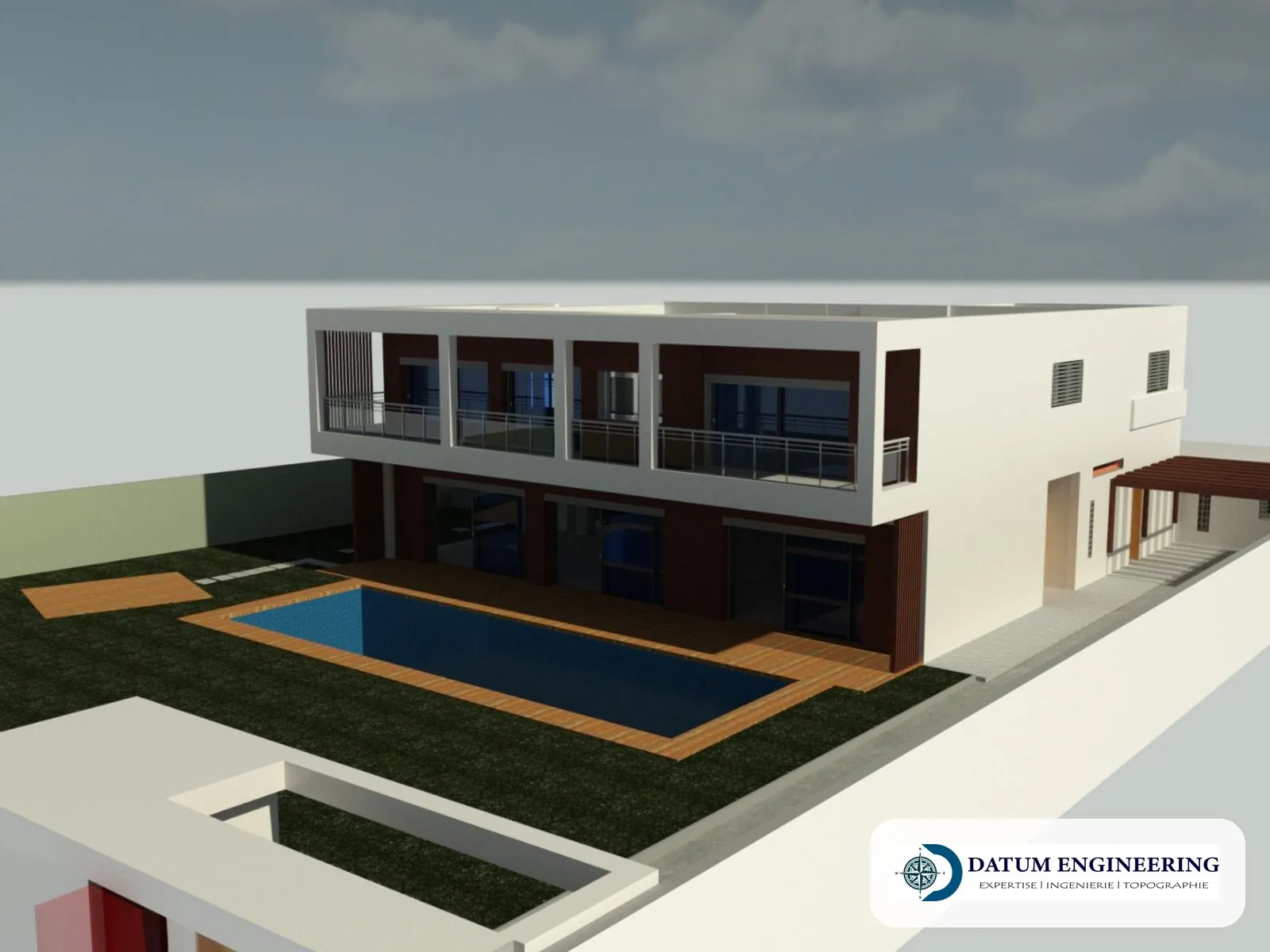 Scan to BIM: the digital model of an existing buildingBIM model of an existing building from a laser point cloud: agreed level of detail, IFC and RVT formats, for design and facility management.
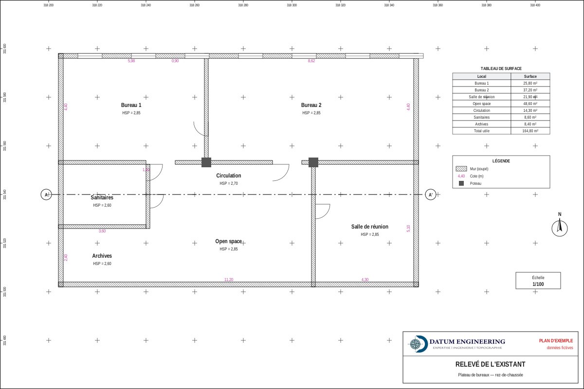 As-built survey: plans, façades and sectionsInterior and exterior survey of a building: floor plans, façades, sections and areas, for a refurbishment or an update file.
Regulatory measurements and expertise
 Distance measurement for opening a pharmacyDistance measurement plan and certificate relative to neighbouring pharmacies for the opening or transfer of a pharmacy (ONIGT Standard 13).
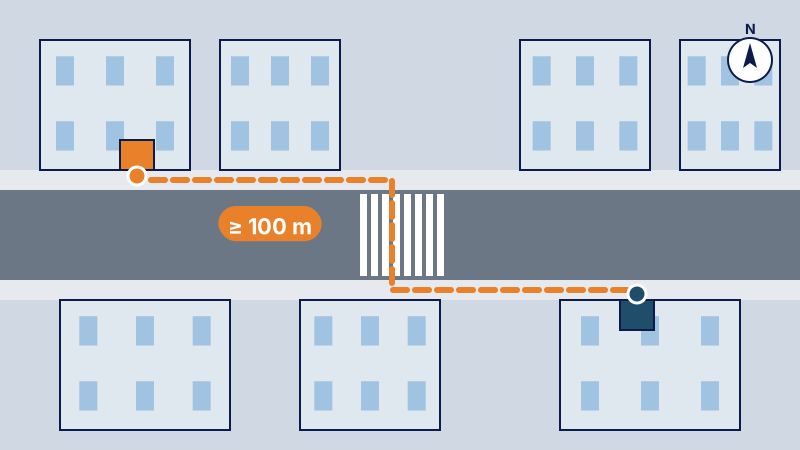 Distance measurement for a tobacco shopMeasurement plan and certificate of the pedestrian route between tobacco shops for an authorisation application (ONIGT Standard 14).
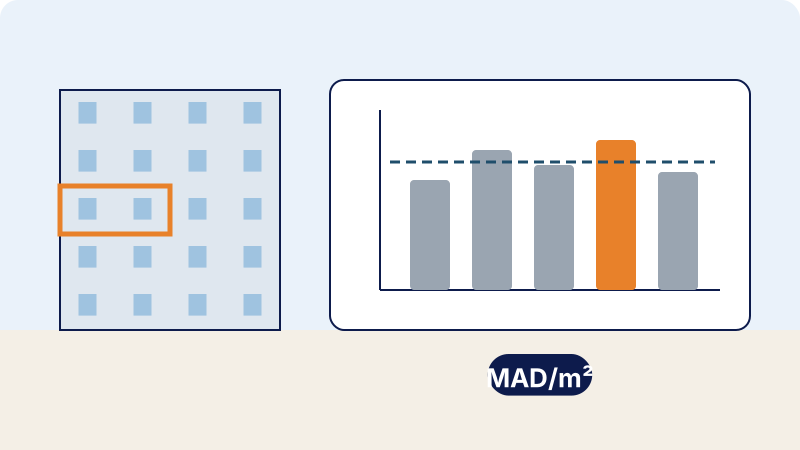 Property valuation: the market value of a propertyEstimate of the market value of an apartment, a villa or a plot of land for a sale, an estate, a security or a dispute: reasoned report.
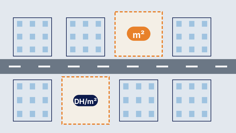 TNB: checking the taxable area of undeveloped landVerification of the taxable area of undeveloped urban land and of the exempt parts, under Law 47-06 as amended by Law 14-25.
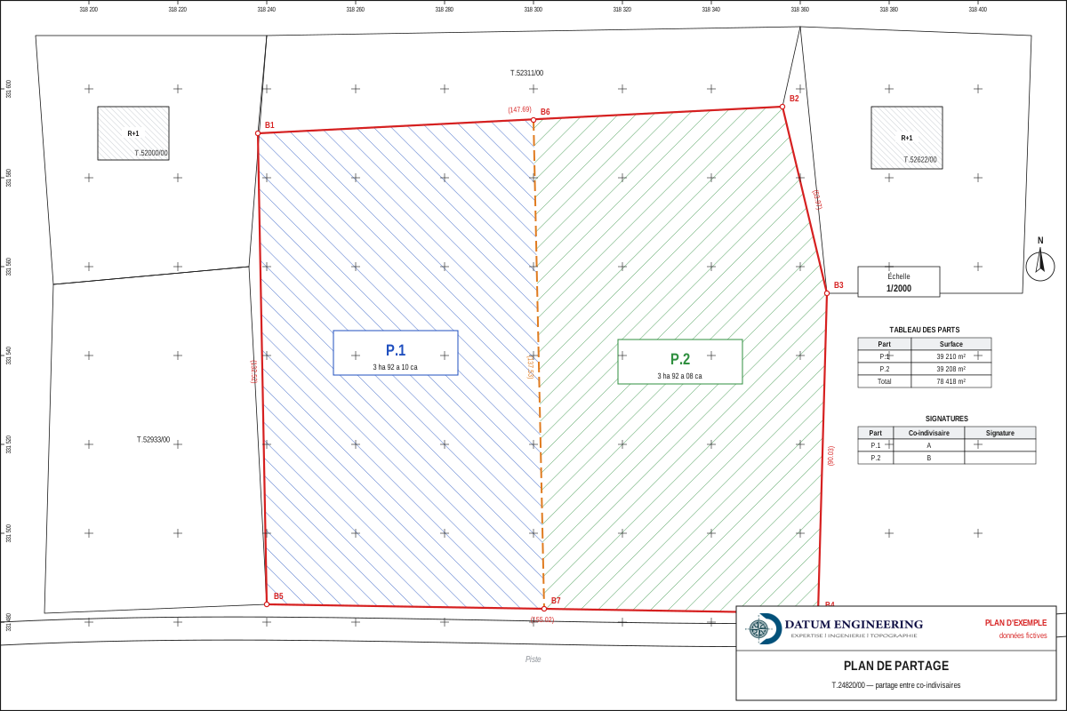
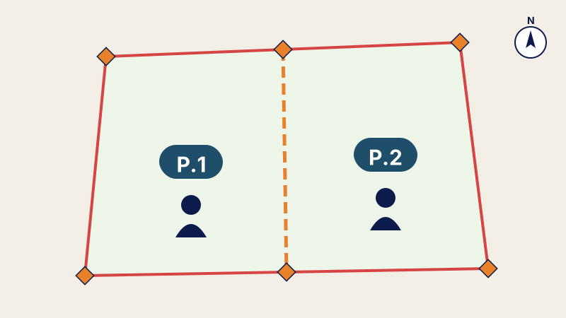 Partition plan of land between heirs or partnersDividing land between heirs or partners: lots of equal area or value, partition plan, then land division and titles.