
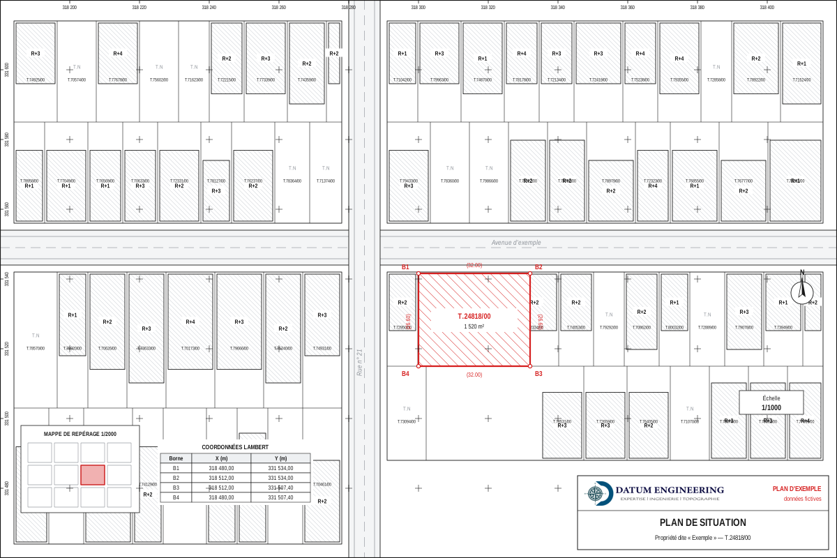
When it applies
- Building permit application.
- Application for an administrative authorisation.
- Utility connection or borehole file.
Our work
- Location. Identification of the land and its boundaries, tie-in to Lambert Morocco (Merchich datum).
- Base map. Streets, blocks, neighbourhood landmarks.
- Layout. Scale, orientation, coordinates and title block as requested.
Examples of assignments
- Building permit
- Borehole authorisation application
- Utility connection file
What you receive
- Location plan in PDF and DWG
Reference framework
- Standards of the ONIGT (National Order of Surveying Engineers)
- Requirements of the municipality or the receiving administration
Where we work
The firm is based in Aïn Sebaâ and works in the sixteen districts of Casablanca (Anfa, Maârif, Sidi Belyout, Al Fida, Mers Sultan, Aïn Chock, Hay Hassani, Ben M'Sick, Sbata, Moulay Rachid, Sidi Othmane, Hay Mohammadi, Roches Noires, Aïn Sebaâ, Sidi Bernoussi, Sidi Moumen), in Mohammedia, Bouskoura, Dar Bouazza, Nouaceur, Médiouna, Berrechid, Benslimane, Settat and El Jadida.
Further reading
Frequently asked questions
Location plan or topographic plan?
The location plan locates the land; the topographic plan describes its relief and details. The table “Which plan for which need?” in the guides compares them.