
Your situation
- Your building application requires a location plan.
- You are applying for a well-drilling permit or a utility connection.
- You are preparing a service-station project or an application to an administration.
What the plan must contain
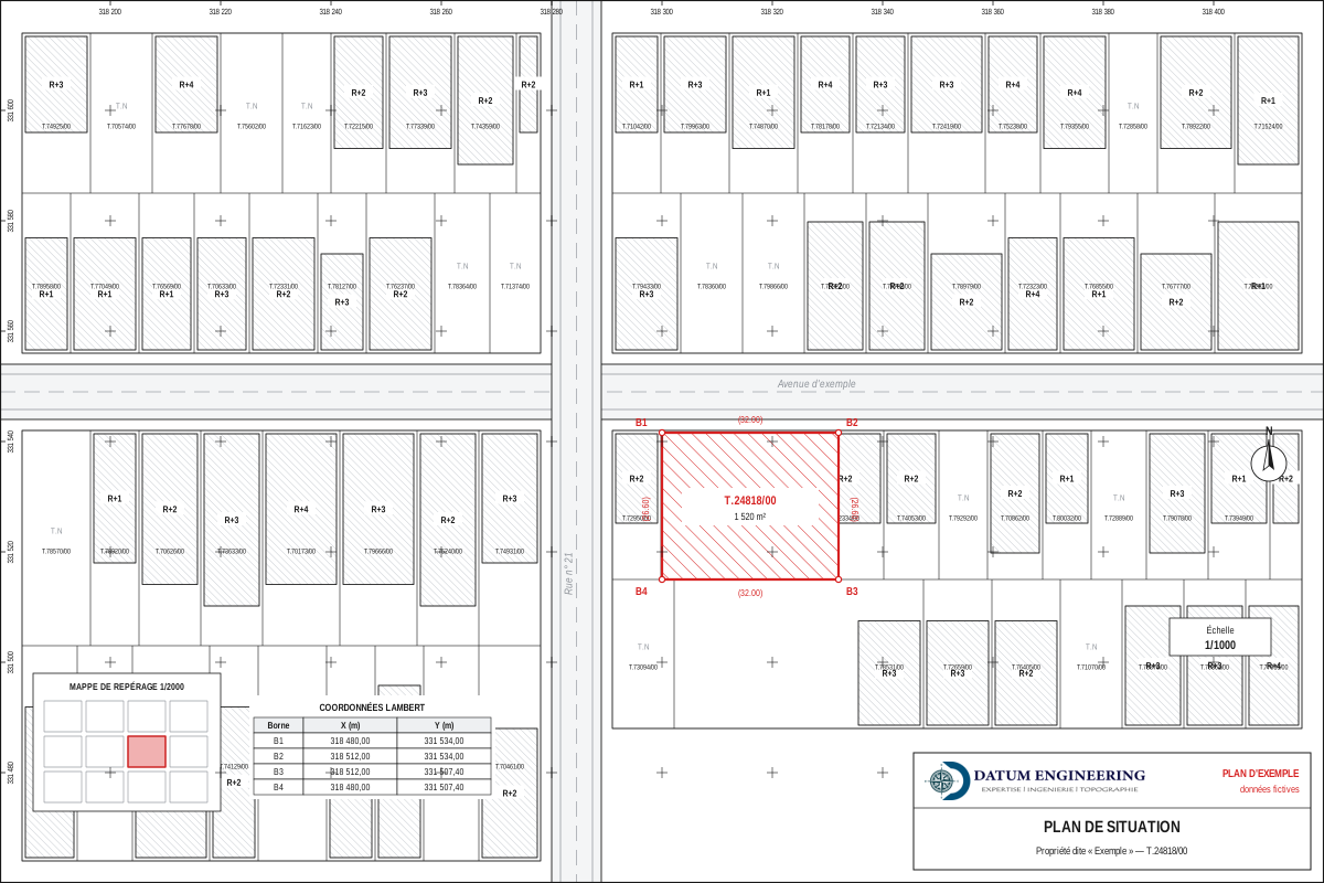
- the boundaries of the plot and its boundary markers, with the list of their coordinates in the Lambert Morocco system (Merchich datum);
- the area and the scale of the plan;
- the land references (title, réquisition) or the statement “unregistered”;
- the neighbouring properties and the access roads;
- the location map (mappe de repérage) at 1:2,000 and an extract of satellite imagery;
- the administrative location: in town, wilaya, prefecture or province, municipality, district, neighbourhood, street; in rural areas, province, cercle, caïdat, municipality, douar and locality — checked against official documents, as for any regular survey (Standard 03 of the ONIGT, National Order of Surveying Engineers).
See also
How it proceeds
- Consultation of the cadastre: cadastral plan, boundary markers and control points.
- Field survey, tied to the Lambert system.
- Preparation of the plan with the administrative information.
Documents to prepare
- the number of the land title or of the réquisition (application for registration), if any;
- the purpose of the application and the administration to which it is addressed;
- the applicant's identity document.
Frequently asked questions
Can unregistered land have a location plan?
Yes. The plan then bears the statement “unregistered” and the boundaries are surveyed in the field.
Does the location plan replace the topographic plan?
No. The former locates the land; the latter describes its relief and details for designing a project.
Other useful guides
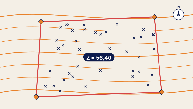 Topographic plan: knowing your land before buildingTopographic plan of a plot under ONIGT Standard 03: survey tied to Lambert and NGM, contour lines, spot heights and files delivered to the architect.
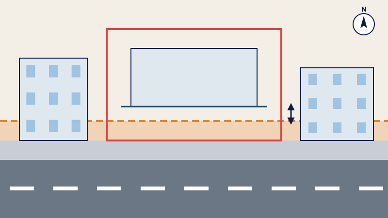 Alignment plan: knowing where to build in relation to the public roadAlignment plan: setback, planned road and public right-of-way before the building permit, based on the zoning plan in force.
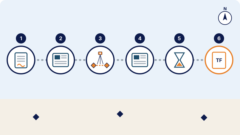 Land registration in Morocco: the steps, from the réquisition to the land titleRéquisition, publication, boundary survey, objections and land title: the steps of land registration in Morocco under the 1913 dahir as amended by Law 14-07.
Written by the surveying engineers of DATUM ENGINEERING, a firm registered on the roll of the ONIGT (National Order of Surveying Engineers).
General information article, based on the standards of the ONIGT (National Order of Surveying Engineers) and the ANCFCC (National Agency for Land Registry, Cadastre and Cartography) and on the texts in force on the date of update. It does not replace an examination of your file.