
When it applies
- Building permit for a villa, an apartment building or an industrial building.
- Design of a project by the architect and the design office.
- Purchase of sloping or filled land.
Our work
- Tie-in. Lambert Morocco (Merchich datum) coordinates and elevations in the NGM (Morocco's national levelling datum).
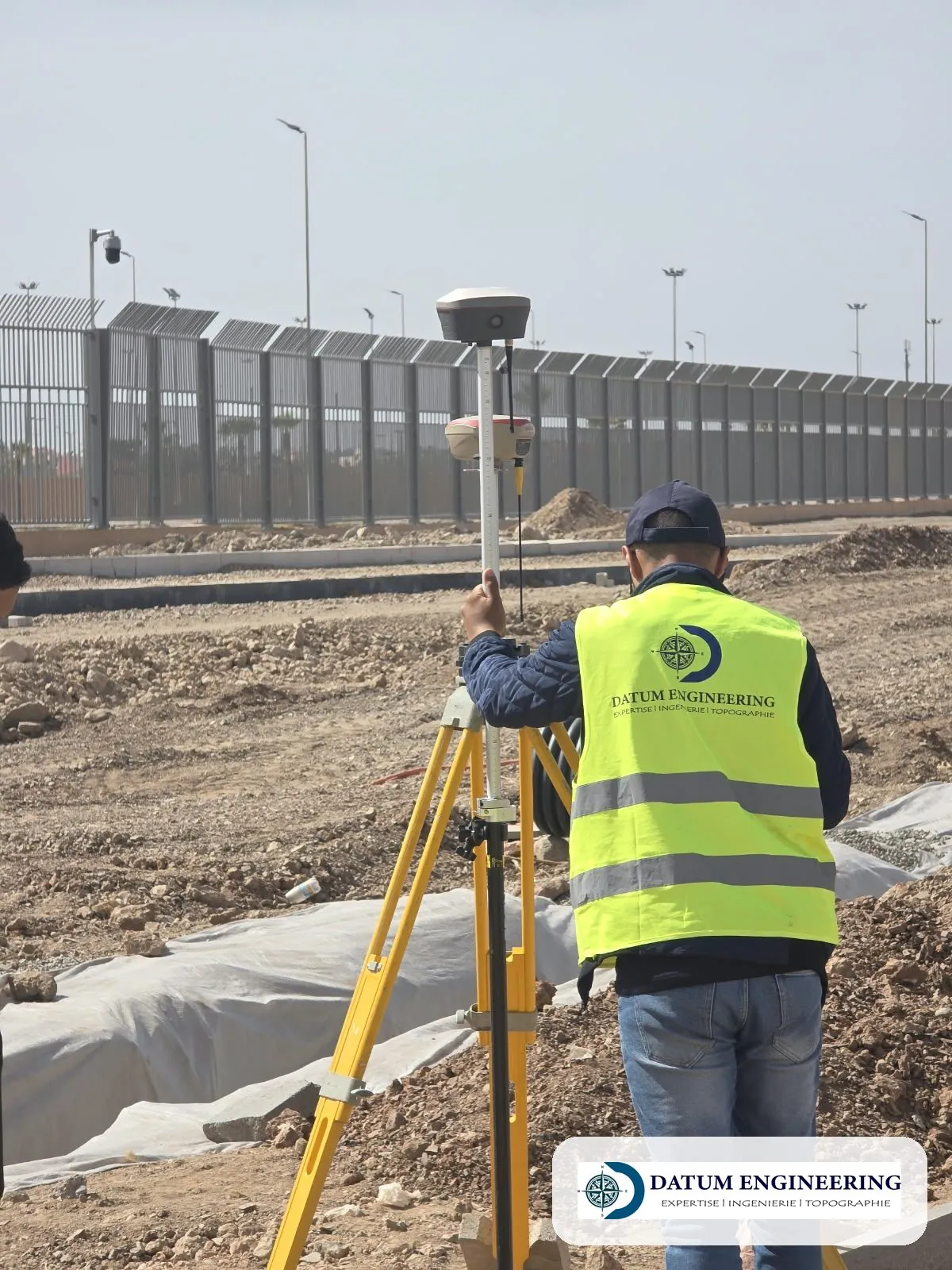
- Survey. GNSS or total station; boundaries, boundary markers, buildings, trees, adjoining roads.
- Check. Points surveyed twice, closures checked against the tolerances of the Order.
- Drawing. Spot heights, contours, grid, title block.
Topographic plans in Bouskoura, Dar Bouazza and Nouaceur
In the province of Nouaceur, Bouskoura, Dar Bouazza and Nouaceur host many projects for villas, subdivisions and business premises. The building permit application filed with the municipality must include a topographic plan of the land: boundaries and boundary markers of the land title, adjoining roads, existing buildings and trees, spot heights and contour lines, tied to the Lambert Morocco (Merchich datum) system and to the NGM (Morocco's national levelling datum).
On this land, often gently sloping or on fill, the topographic plan also allows the architect to set the ground-floor level and the design office to check the drainage of water towards the road.
Examples of assignments
- Villa in Bouskoura or Dar Bouazza
- Industrial site
- Apartment building in a city centre
- Initial and final topographic plan of a construction site
What you receive
- Topographic plan in DWG and PDF
- Point listing (X, Y, Z)
- Benchmark description sheets
Reference framework
- ONIGT (National Order of Surveying Engineers) Standard 03 (topographic plan)
- Decision No. 68/98/ONIGT/CN (tolerances)
Where we work
The firm is based in Aïn Sebaâ and works in the sixteen districts of Casablanca (Anfa, Maârif, Sidi Belyout, Al Fida, Mers Sultan, Aïn Chock, Hay Hassani, Ben M'Sick, Sbata, Moulay Rachid, Sidi Othmane, Hay Mohammadi, Roches Noires, Aïn Sebaâ, Sidi Bernoussi, Sidi Moumen), in Mohammedia, Bouskoura, Dar Bouazza, Nouaceur, Médiouna, Berrechid, Benslimane, Settat and El Jadida.
Projects of the firm
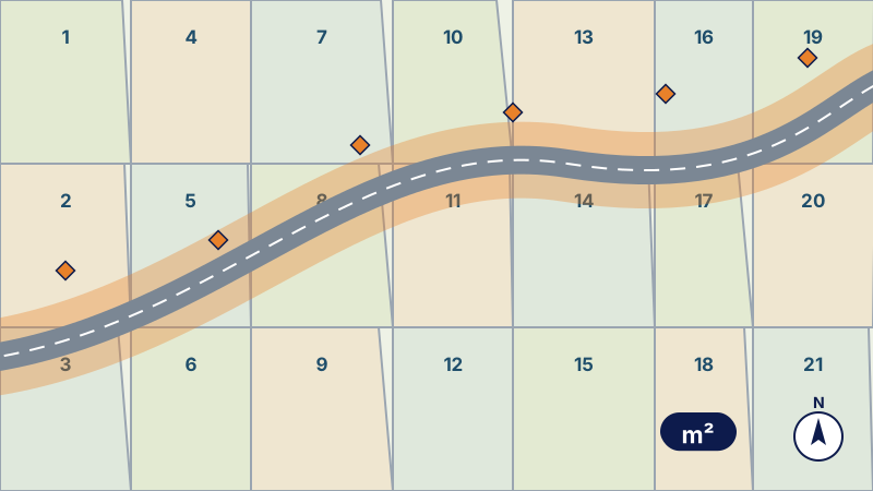 Parcel schedule for an urban transport lineAffected areas, additional survey, parcel enquiry and schedule, and land files for an urban transport project.
- Parcel schedule for a road bypassParcel plan and schedule for the route of a road bypass, land registry consultations and topographic plan of the corridor.
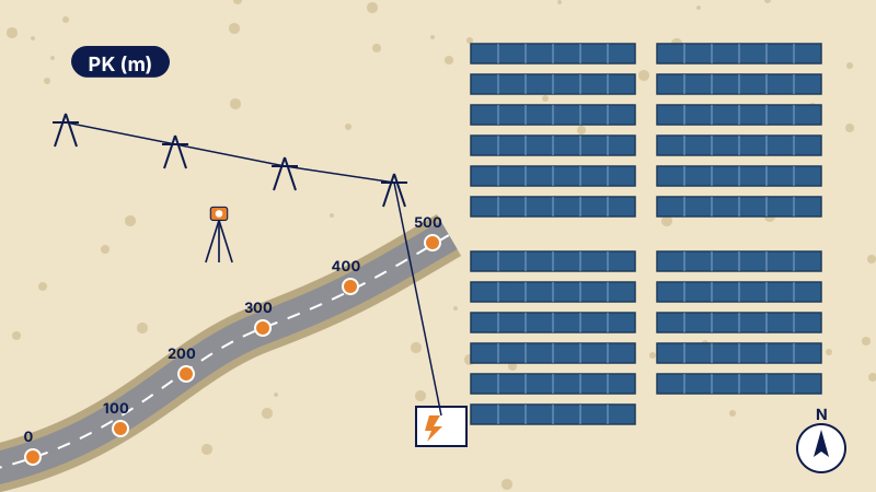 Survey of access roads to solar plantsTopographic survey of the access roads to solar plants and their connection lines: method and deliverables.
Further reading
Frequently asked questions
In which system is the plan delivered?
In Lambert coordinates and NGM elevations, unless the specifications require otherwise.
Is the topographic plan enough for the permit?
It is often required together with the location plan and, depending on the road, the alignment plan.