
When it applies
- Boundary markers missing or moved.
- Construction of a boundary wall.
- Disagreement with a neighbour on the position of a boundary.
- Purchase of land whose boundary markers are no longer visible.
Our work
- Land file. Plan and computations of the title consulted at the Cadastre Department.
- Tie-in. Instrument set up on the reference points and check of the boundary markers still in place.
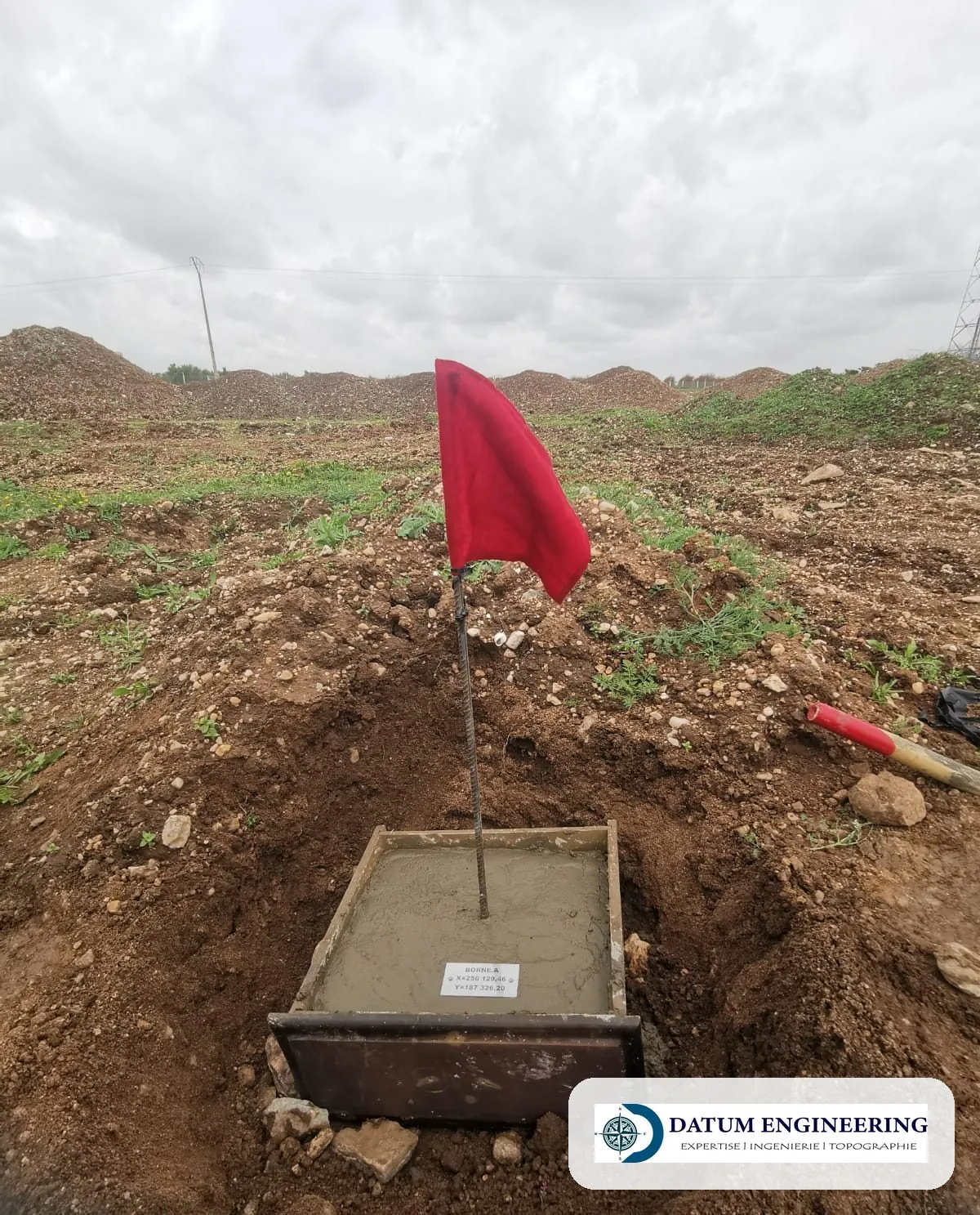
- Re-establishment. Setting-out of the missing corners and placing of the boundary markers.
- Procès-verbal. Procès-verbal (official report) drawn up in the presence of the parties, with the re-establishment plan.
Examples of assignments
- Boundary markers pulled out after works
- Boundary wall to be built
- Boundary dispute between neighbours
- Check of the boundaries before a purchase
What you receive
- Procès-verbal of re-establishment of the boundary markers
- Re-establishment plan (PDF, DWG)
- Boundary markers placed on the ground
Reference framework
- ONIGT (National Order of Surveying Engineers) Standard 05 (re-establishment of boundary markers)
- Plan and computations of the land title
Where we work
The firm is based in Aïn Sebaâ and works in the sixteen districts of Casablanca (Anfa, Maârif, Sidi Belyout, Al Fida, Mers Sultan, Aïn Chock, Hay Hassani, Ben M'Sick, Sbata, Moulay Rachid, Sidi Othmane, Hay Mohammadi, Roches Noires, Aïn Sebaâ, Sidi Bernoussi, Sidi Moumen), in Mohammedia, Bouskoura, Dar Bouazza, Nouaceur, Médiouna, Berrechid, Benslimane, Settat and El Jadida.
Further reading
Frequently asked questions
Does re-establishment change the boundaries?
No: it sets out the boundaries again as they appear in the land title.
Must the neighbour be present?
His presence is desirable; the procès-verbal records the parties present.