
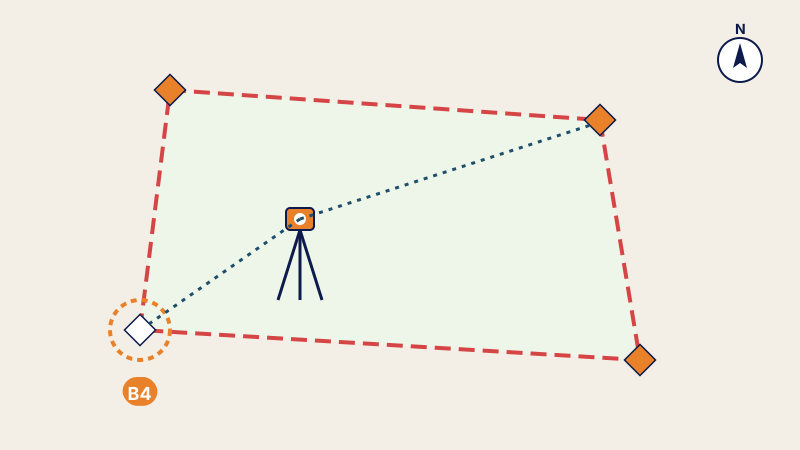
Your situation
- The boundary markers have disappeared after works, ploughing or a neighbouring construction site.
- You are about to build a fence or a building on the boundary.
- You are selling and want to show the buyer the exact boundaries.
- A disagreement has arisen with a neighbour over the position of a boundary.
What the standard says
Under Standard 05 of the ONIGT (National Order of Surveying Engineers), the surveying engineer sets out the boundary markers of a land title or of a réquisition (application for registration) at their original position, after they have disappeared or been moved, using the cadastral plan and the area computation. For unregistered land, the surveyor carries out a land demarcation under a different procedure.

How it proceeds
- Contract signed by the owner or the owner's representative.
- Consultation of the cadastre: cadastral plan, area computation, control points.
- Check of the control points in the field: stability and consistency.
- Setting-out of the boundary markers at their original position.
- Procès-verbal (official report) signed by the surveyor and by the owner or the owner's representative, and certificate of re-establishment.
What you receive
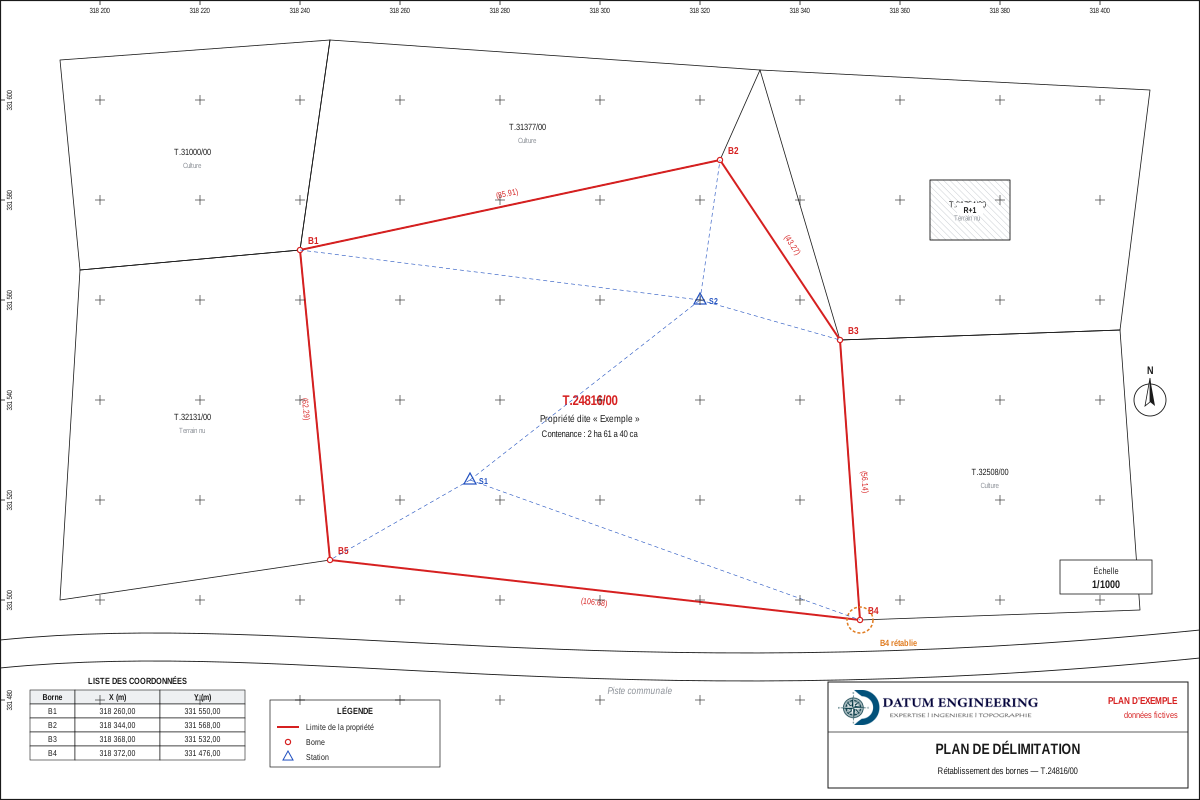
- the boundary plan of the land;
- the certificate of re-establishment of the boundary markers, which cites the source documents and the date of the operation;
- the list of the markers' coordinates;
- the signed procès-verbal.
Documents to prepare
- the land title number;
- the owner's identity document, or the representative's power of attorney;
- access to the land on the day of the operation.
Frequently asked questions
Does re-establishment change the area?
No. The markers are put back according to the coordinates in the cadastral file; the area of the title does not change.
Does the owner have to be present?
The procès-verbal is signed by the surveyor and by the owner or the owner's representative: the owner's presence, or that of an authorised agent, is required.
What if the land is not registered?
There are no cadastral markers to re-establish: a land demarcation is carried out instead.
Other useful guides
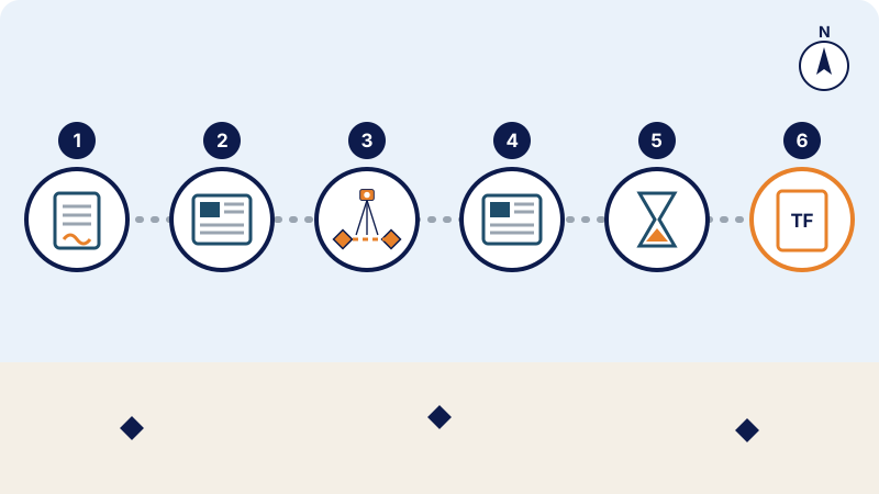 Land registration in Morocco: the steps, from the réquisition to the land titleRéquisition, publication, boundary survey, objections and land title: the steps of land registration in Morocco under the 1913 dahir as amended by Law 14-07.
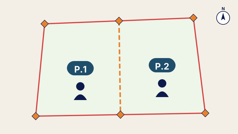 Partition plan: dividing land between heirs or partnersEnding joint ownership: partition plan of a plot between heirs or partners, equivalent lots, land division and new land titles.
 Parcel plan: knowing who owns what within a project's land takeParcel plan and parcel schedule: identifying the land affected by a project, the areas taken and the land status of each parcel.
Written by the surveying engineers of DATUM ENGINEERING, a firm registered on the roll of the ONIGT (National Order of Surveying Engineers).
General information article, based on the standards of the ONIGT (National Order of Surveying Engineers) and the ANCFCC (National Agency for Land Registry, Cadastre and Cartography) and on the texts in force on the date of update. It does not replace an examination of your file.