
When is it needed
- Large sites, subdivisions, industrial sites.
- Road or network corridors.
- Vegetated areas (LiDAR).
Our work
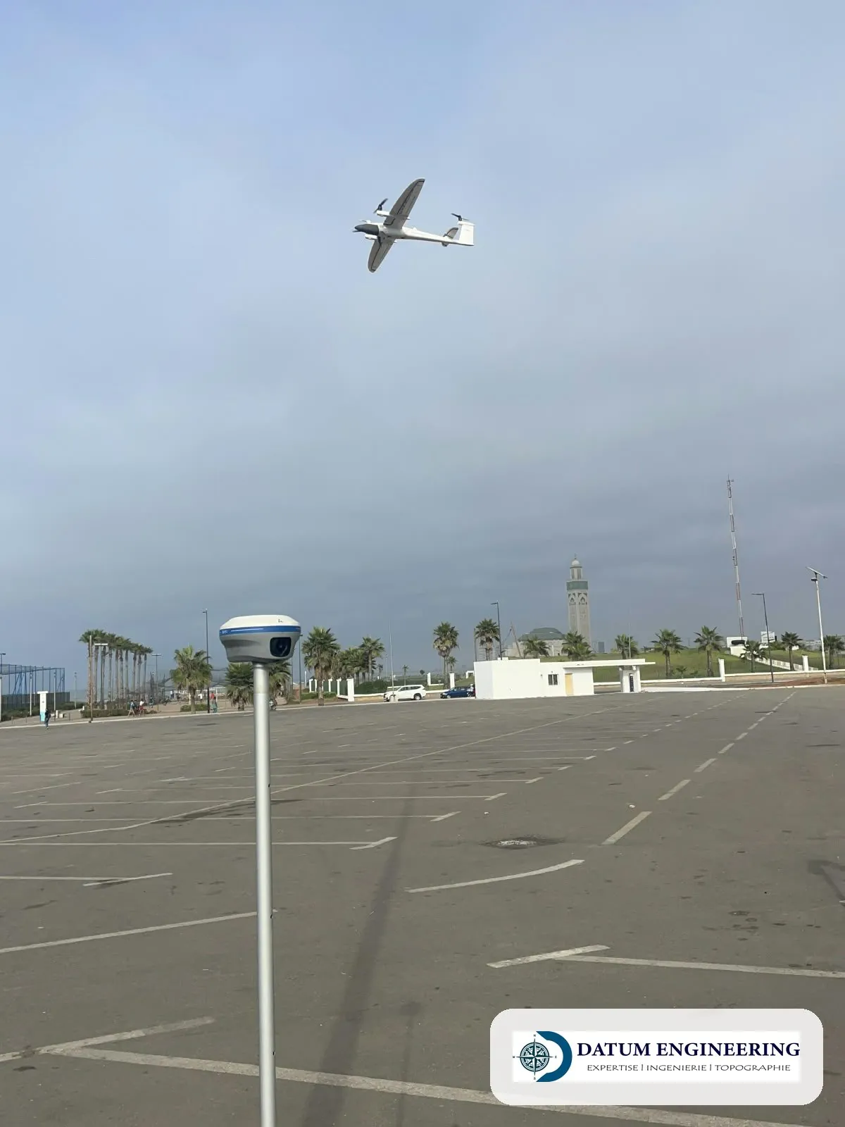
- Flight plan. Height, overlaps and authorisations required for the area.
- Ground control points. Measured by GNSS, tied to the Lambert Morocco (Merchich datum) grid and to the NGM (Morocco's national levelling datum).
- Processing. Dense cloud, DTM (digital terrain model), contour lines.
- Check. On independent points, accuracy report.
Examples of assignments
- DTM of a project site
- Road corridor
- LiDAR survey under vegetation cover
What you receive
- DTM and contour lines
- Point cloud
- Check report
Reference framework
- Decision No. 68/98/ONIGT/CN (tolerances) of the ONIGT (National Order of Surveying Engineers)
Where we work
Based in Casablanca (Aïn Sebaâ), the firm carries out this service throughout Morocco: Greater Casablanca, Rabat-Salé-Témara, Fès, Tangier, Agadir, the Oriental and the South. Its survey crews travel to the site for the duration of the assignment.
Projects of the firm
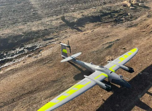 Drone orthophotos at provincial scaleAerial photography, restitution plans at 1/2000 and orthophotos for an urban agency: method and deliverables.
 3D scan and 3D model of a natural siteHigh-density 3D model of a coastal natural site by laser scanner and drone, tied to the NGM, with report and viewer.
Further reading
Frequently asked questions
Does the drone replace a ground survey?
Not under trees, nor for property boundaries: ground measurements remain necessary.