

The assignment at a glance
- Client
- Public administration
The assignment
- Hybrid approach: terrestrial 3D laser scanner and aerial drone photography.
- Dense mesh, reinforced in critical areas; coordinates tied to the NGM (Morocco's national levelling datum).
- 3D model in a standard exchange format, report and viewer for measurements and sections.
Other projects
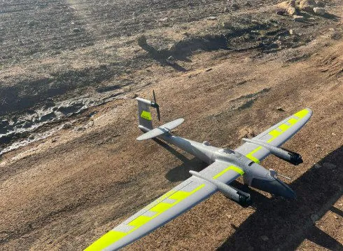 Drone orthophotos at provincial scaleAerial photography, restitution plans at 1/2000 and orthophotos for an urban agency: method and deliverables.
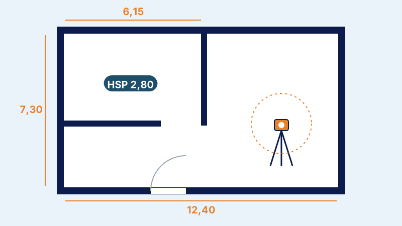 Architectural and 3D survey of a buildingSurvey of the façades and interiors of all floors, 3D modelling and dimensioned plans of a building before renovation.
The published information is limited to the nature of the assignment; the client's data remain confidential.