
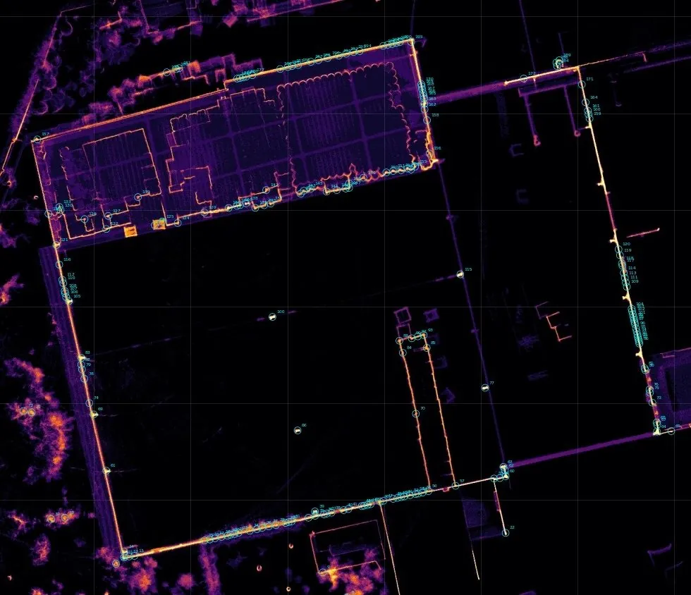
When is it needed
- Industrial sites: flatness, structures, columns.
- Heritage and natural sites.
- Façades and complex volumes.
Our work
- Capture. Static stations or mobile LiDAR runs.
- Referencing. Measured reference points, Lambert Morocco (Merchich datum) and NGM (Morocco's national levelling datum) if required.
- Registration. Scan checks, noise removal.
- Use. Plans, sections, 3D model, viewer.
Examples of assignments
- Flatness of a warehouse slab
- Column checks
- 3D model of a natural site
What you receive
- Point cloud (E57, LAS)
- Plans and sections
- 3D model and viewer
Reference framework
- Accuracy standards of the ONIGT (National Order of Surveying Engineers)
Where we work
Based in Casablanca (Aïn Sebaâ), the firm carries out this service throughout Morocco: Greater Casablanca, Rabat-Salé-Témara, Fès, Tangier, Agadir, the Oriental and the South. Its survey crews travel to the site for the duration of the assignment.
Projects of the firm
 3D scan and 3D model of a natural siteHigh-density 3D model of a coastal natural site by laser scanner and drone, tied to the NGM, with report and viewer.
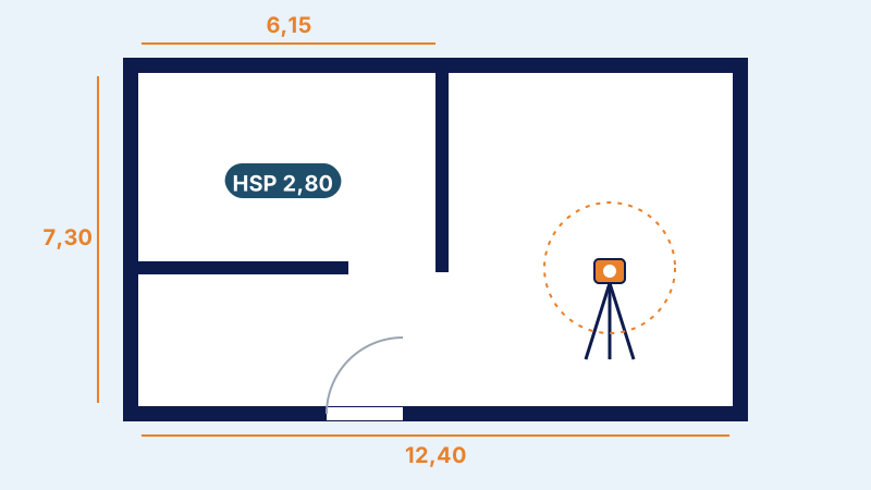 Architectural and 3D survey of a buildingSurvey of the façades and interiors of all floors, 3D modelling and dimensioned plans of a building before renovation.
Further reading
Frequently asked questions
Static scanner or mobile LiDAR?
A static scanner gives the best accuracy; mobile LiDAR covers large volumes faster.