
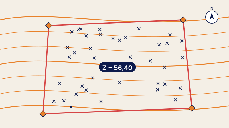
Your situation
- You have bought a plot and your architect is asking for a topographic plan.
- You are preparing a subdivision or a real estate project.
- A design office has to design the roads, sewerage or earthworks.
What a topographic plan is
Under ONIGT Standard 03 (ONIGT: National Order of Surveying Engineers), the topographic plan describes the planimetry and altimetry of a plot; it is a prerequisite for any development or construction study. It is drawn up by a regular topographic survey, tied to the Lambert Morocco system (Merchich datum) and to the NGM (Morocco's national levelling datum).
How the survey proceeds
- Base documents: location map extract, cadastral plan and area computation, earlier survey data, zoning plan (plan d'aménagement) or planning information note (note de renseignements), levelling benchmarks.
- Reconnaissance of the property and of its administrative situation.
- Traverse tied to the Lambert system and the NGM, from the official points consulted at the ANCFCC (National Agency for Land Registry, Cadastre and Cartography).
- Survey of boundaries and details: boundary markers, buildings, roads, utilities, embankments, trees, wells…
- Spread of spot heights on a grid suited to the scale (for example 10 m for a 1/500 plan), supplemented by the characteristic points of the terrain.
- Computation and drawing: contour lines, plotting where applicable of the facilities planned in the zoning plan.

What the plan contains
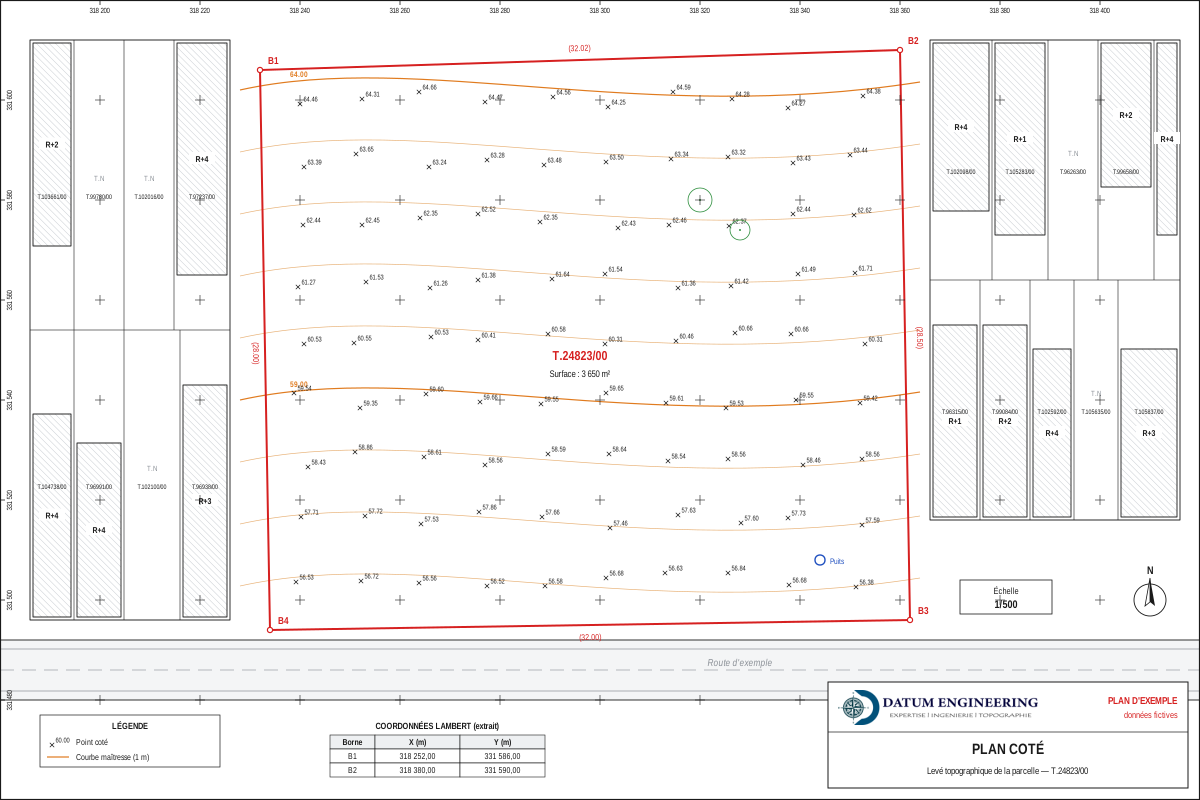
- the boundaries of the plot, its boundary markers and reference markers, and the adjoining owners;
- the coordinate table and an extract of the cadastral map;
- the grid, the scale (1/200, 1/500 or 1/1000) and the legend;
- the index and intermediate contour lines, with their values, and the spot heights;
- the existing features: embankments, carriageways, manholes, sewer gullies…
What you receive
Two paper copies of the plan at the requested scale and the digital files in DWG and DXF formats, directly usable by the architect and the design office.
Frequently asked questions
What is the difference with the location plan?
The location plan situates the land; the topographic plan describes its relief and all the details needed to design the project.
Why tie the plan to the Lambert system and the NGM?
So that the project fits into the official plans, the existing roads and utilities, in position as well as in height.
Is the topographic plan enough to know the building rules?
No: the alignment plan is also needed, drawn up from the planning information note and the zoning plan.
Other useful guides
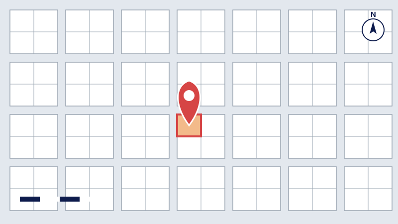 Location plan: locating a plot precisely for the administrationLocation plan for a building permit or an administrative application: purpose, scale, content and tie-in to the Lambert system.
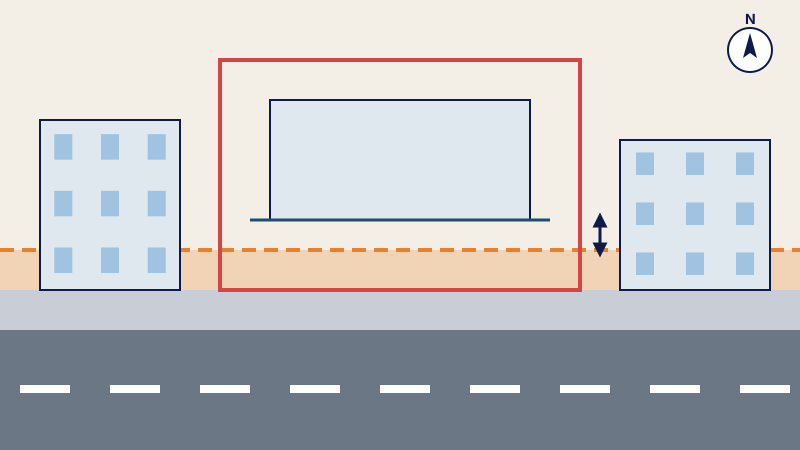 Alignment plan: knowing where to build in relation to the public roadAlignment plan: setback, planned road and public right-of-way before the building permit, based on the zoning plan in force.
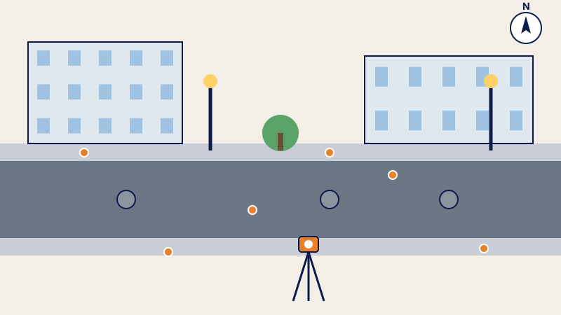 Road and utility survey, as-built plan: surveying the street before and after the worksStreet survey before works and as-built plan after construction (ONIGT Standard 08): what is surveyed, limitations and deliverables for the design office.
Written by the surveying engineers of DATUM ENGINEERING, a firm registered on the roll of the ONIGT (National Order of Surveying Engineers).
General information article, based on the standards of the ONIGT (National Order of Surveying Engineers) and the ANCFCC (National Agency for Land Registry, Cadastre and Cartography) and on the texts in force on the date of update. It does not replace an examination of your file.