

Your situation
- A design office is preparing a road, sewerage or drinking water study.
- A municipality is planning the resurfacing of a street or a junction.
- A subdivision or utility works site is ending and the project owner must receive its as-built records.
For a building plot, the appropriate document is the topographic plan of the plot. This guide deals with the public space: the street, its structures and its utilities.
Before the works: the road and utility survey
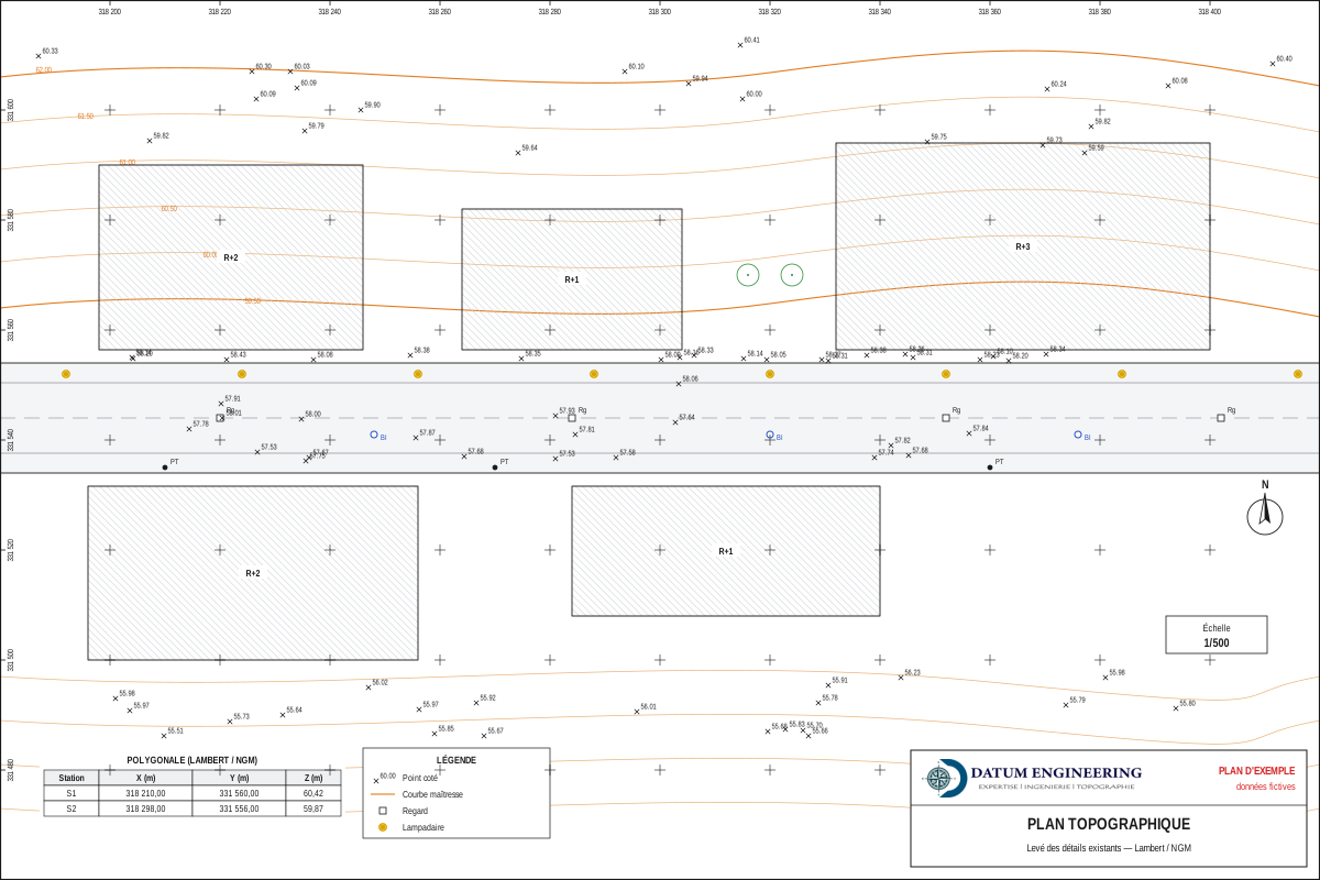
The survey, tied to the Lambert Morocco system (Merchich datum) and to the NGM (Morocco's national levelling datum), shows:
- the occupation boundaries along the street line, kerbs, pavements, verges and traffic islands;
- the visible utility structures: manholes and covers, valve boxes, fire hydrants, telecommunication chambers, poles, cabinets and street lights;
- signage, steps, walls and roadside trees;
- carriageway profiles about every 30 m, at each change of gradient and at each intersection;
- the cover and invert levels of the stormwater and wastewater networks, essential for computing the flow gradients.
After the works: the as-built plan
Under ONIGT Standard 08 (ONIGT: National Order of Surveying Engineers), the as-built plan describes the works actually carried out at the end of construction, comparing them with the project design plan. Starting from the authorised plan or the design plan supplied in digital format (DXF), the surveying engineer (IGT) surveys:
- the final state of all the project's structures: utilities, roads, built volumes;
- the boundaries of the existing roads and their rights-of-way;
- the discrepancies with the project: setbacks, encroachments between the project footprint and the roads as built.

What a survey does not show
What you receive
- the plan at 1/200, 1/500 or 1/1000 in DWG and PDF, with its legend;
- the table of cover and invert levels, and the requested profiles;
- for an as-built survey, the discrepancies with the design plan highlighted.
Frequently asked questions
Does the survey locate buried utilities?
No. It records the visible structures (manholes, gullies, chambers); the buried route is indicative, unless the laying was followed.
What is the difference between a road survey and an as-built plan?
The first describes the street before a project; the second describes, at the end of the works, what was actually built compared with the project.
Can the design office use the plan directly?
Yes: it is delivered in DWG, in Lambert coordinates and NGM heights, with the utility levels.
Other useful guides
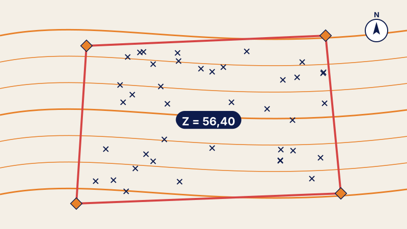 Topographic plan: knowing your land before buildingTopographic plan of a plot under ONIGT Standard 03: survey tied to Lambert and NGM, contour lines, spot heights and files delivered to the architect.
 Parcel plan: knowing who owns what within a project's land takeParcel plan and parcel schedule: identifying the land affected by a project, the areas taken and the land status of each parcel.
 Scan to BIM: capturing an existing building up to its 3D modelCapturing an existing building with a 3D laser scanner: point cloud, plans, sections and BIM model, georeferencing and quality control.
Written by the surveying engineers of DATUM ENGINEERING, a firm registered on the roll of the ONIGT (National Order of Surveying Engineers).
General information article, based on the standards of the ONIGT (National Order of Surveying Engineers) and the ANCFCC (National Agency for Land Registry, Cadastre and Cartography) and on the texts in force on the date of update. It does not replace an examination of your file.