
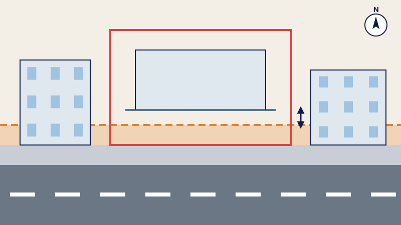
Your situation
- You are buying a plot and want to know whether it is affected by a planned road.
- Your architect needs the official alignment before starting the design.
- The building is up and the occupancy permit requires an alignment check certificate.
Two distinct services
Standard 06 of the ONIGT (National Order of Surveying Engineers) distinguishes:
- the alignment plan (proposal), required before any building or subdivision project: it plots the rights-of-way of the roads and the alignment of the façades from the planning information note (note de renseignements) and the zoning plan (plan d'aménagement). Together with the topographic plan, it is the basis of the design;
- the alignment check, carried out on the existing building, to verify that the façades comply with the approved plan.
How it proceeds
- Source documents: planning information note with the extract of the zoning plan, preferably in digital form (DXF) from the urban agency; cadastral plan and area computation if the land is registered.
- Field survey of the neighbours' alignments and the limits of the existing roads.
- Analysis of discrepancies: neighbours' setbacks, encroachments between the plot and the roads built or planned, adjoining courtyards.
- Alignment plan, with, where needed, the calculation of areas by zone (buildable, planned road, parking…).
- Validation by the municipality and the urban agency, which endorse the plan.
What the plan contains
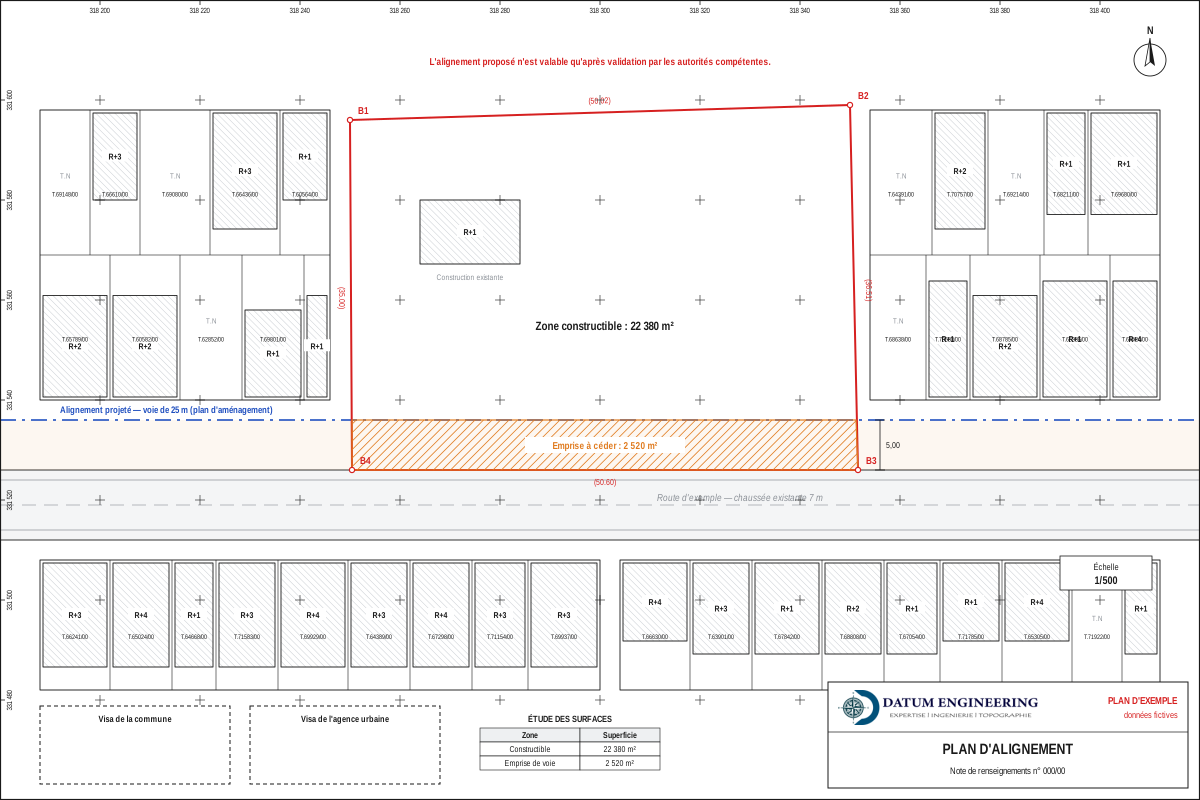
- land references, location and table of coordinates of the plot;
- surveyed features and alignments plotted from the zoning plan, dimensioned in relation to the boundary;
- table of the area study and a legend distinguishing existing roads from planned roads;
- endorsement boxes for the municipality and the urban agency, reference of the planning information note, and a statement that the proposed alignment is valid only after validation.
The alignment check
It concerns the completed building. The certificate is never issued before the ground-floor slab has been poured; before that stage, the surveyor issues a setting-out certificate. It accompanies the application for the occupancy permit or the certificate of compliance.
Frequently asked questions
Is the alignment plan official as soon as it is signed?
No. It becomes valid only after validation by the municipality and the urban agency.
What is the difference with the topographic plan?
The topographic plan describes the land as it is; the alignment plan adds to it the rules of the zoning plan for roads and façades. The architect needs both.
When should the alignment check be requested?
After the ground-floor slab has been poured, for the occupancy permit or the certificate of compliance.
Other useful guides
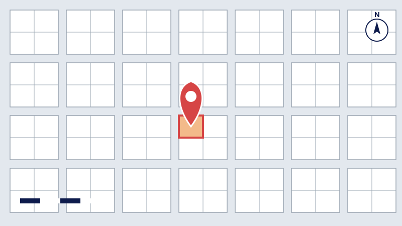 Location plan: locating a plot precisely for the administrationLocation plan for a building permit or an administrative application: purpose, scale, content and tie-in to the Lambert system.
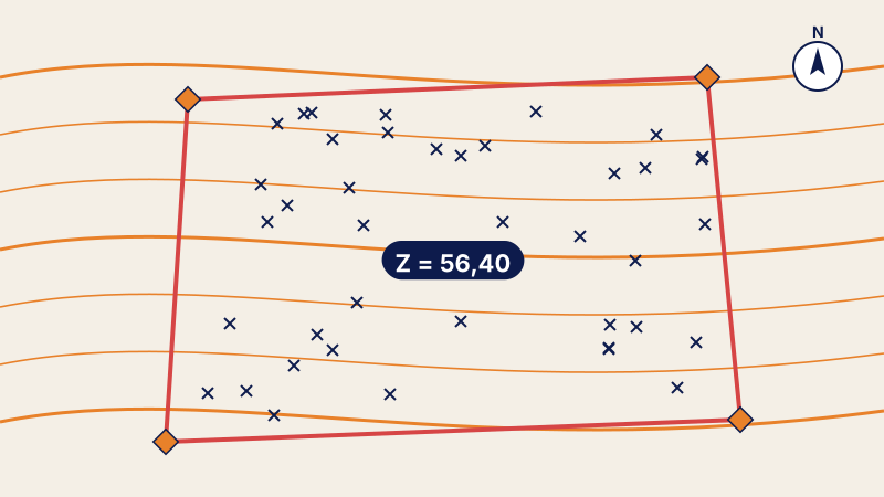 Topographic plan: knowing your land before buildingTopographic plan of a plot under ONIGT Standard 03: survey tied to Lambert and NGM, contour lines, spot heights and files delivered to the architect.
 Tax on undeveloped land (TNB): what Law 14-25 changesTax on undeveloped urban land: Law 14-25 rates, zones, exemptions and computation of the taxable area by a land surveyor.
Written by the surveying engineers of DATUM ENGINEERING, a firm registered on the roll of the ONIGT (National Order of Surveying Engineers).
General information article, based on the standards of the ONIGT (National Order of Surveying Engineers) and the ANCFCC (National Agency for Land Registry, Cadastre and Cartography) and on the texts in force on the date of update. It does not replace an examination of your file.