

Your situation
- A renovation or extension project concerns a building whose plans are lost or wrong.
- An industrial site must integrate new equipment without clashing with the existing installations.
- A project owner wants a BIM model of its property portfolio to operate and maintain it.
- A construction site must be checked against the design.
The principle
From each station, or while moving (mobile LiDAR), the laser scanner measures the position of millions of points on the visible surfaces. Once registered together and tied to the project coordinate system, these points form a 3D point cloud, on which the plans are then drawn or the model is built.
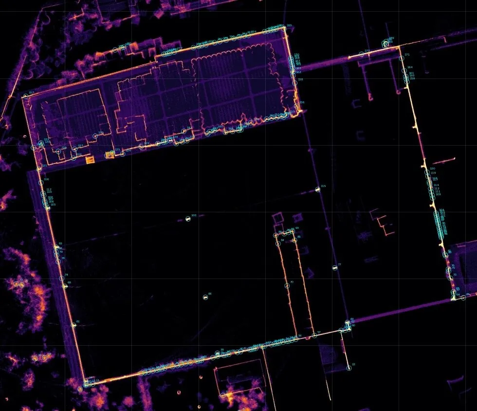
How it proceeds
- Definition of the need: areas to be covered, level of detail of the model, expected deliverables.
- Control points set out and surveyed in Lambert Morocco coordinates (Merchich datum) and NGM heights (Morocco's national levelling datum), to georeference the cloud.
- Acquisition: terrestrial scanner stations, mobile LiDAR runs, and drone for the roofs if needed.
- Registration and check: the acquisitions are registered to one another; the deviations on the control points are checked before any use.
- Processing: floor plans, sections, elevations, then modelling.
- Quality control of the model by overlaying it on the cloud.
The deliverables
- the registered and georeferenced point cloud (E57 or RCP formats);
- floor plans, sections and elevations in DWG;
- the 3D or BIM model at the agreed level of detail (native format and IFC).

Points to define from the outset
- the level of detail: walls and slabs only, or also joinery, building services and equipment;
- the coordinate system: local to the building, or tied to the Lambert system and the NGM to fit into a project;
- inaccessible areas: false ceilings, shafts, roofs, which require additional means.
Frequently asked questions
Does activity have to stop during the scan?
Generally not: the acquisitions are organised by zone, avoiding periods of heavy traffic.
Is the point cloud enough?
It contains the information, but most users need usable plans or a model; that is the purpose of the modelling stage.
Can the accuracy be checked?
Yes: independently surveyed control points make it possible to measure the deviations of the registered cloud.
Other useful guides
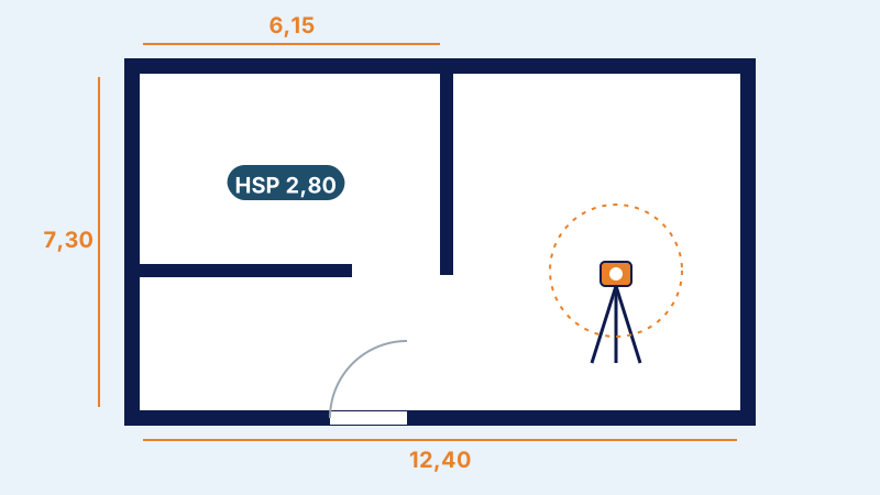 Interior survey: obtaining accurate plans of the existing buildingInterior survey of an apartment, premises or a building: plans of each level, areas, heights and files delivered to the architect.
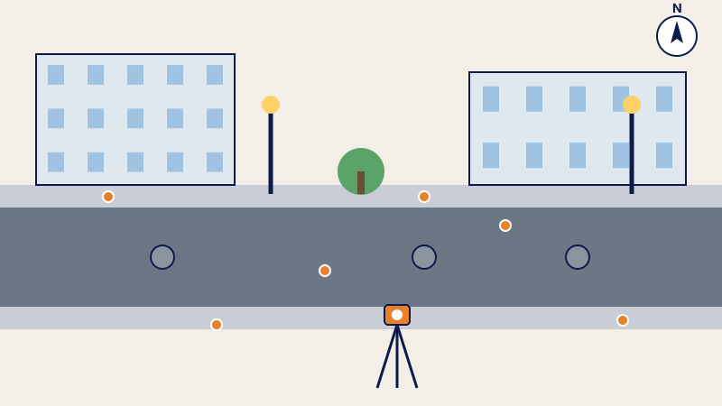 Road and utility survey, as-built plan: surveying the street before and after the worksStreet survey before works and as-built plan after construction (ONIGT Standard 08): what is surveyed, limitations and deliverables for the design office.
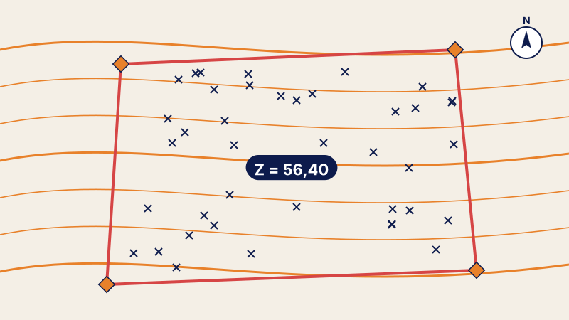 Topographic plan: knowing your land before buildingTopographic plan of a plot under ONIGT Standard 03: survey tied to Lambert and NGM, contour lines, spot heights and files delivered to the architect.
Written by the surveying engineers of DATUM ENGINEERING, a firm registered on the roll of the ONIGT (National Order of Surveying Engineers).
General information article, based on the standards of the ONIGT (National Order of Surveying Engineers) and the ANCFCC (National Agency for Land Registry, Cadastre and Cartography) and on the texts in force on the date of update. It does not replace an examination of your file.