
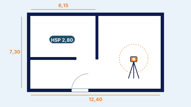
Your situation
- An architect or an interior designer needs reliable plans before studying works.
- You are renting or buying an office, a shop or an open-plan floor and want to know its actual area.
- A building is to be placed under co-ownership and each level must be surveyed.
- You need to justify an area to an administration, an insurer or a partner.
What a survey contains
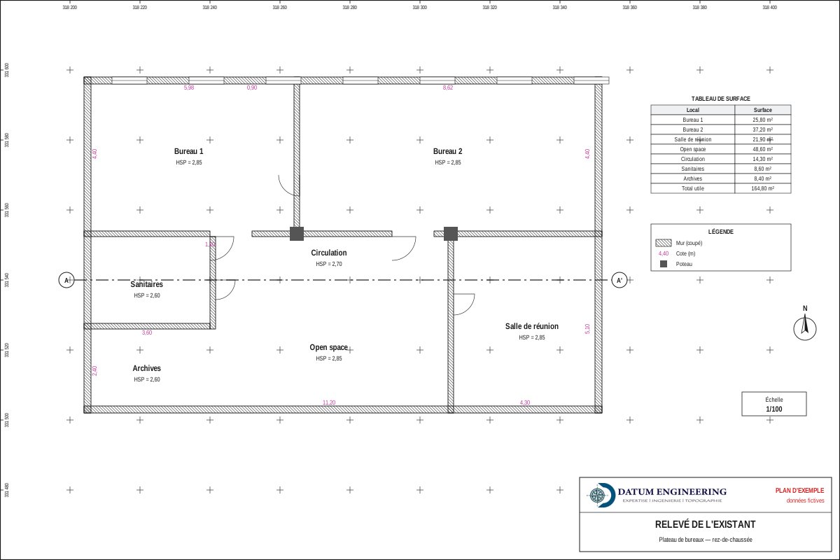
- one plan per level at 1/50 or 1/100 scale, with walls and partitions at their actual thickness, columns, doors and windows;
- the dimensions of each room and each element;
- the name of each room and its ceiling height;
- sections where the heights, mezzanines or levels justify them;
- an area table by room and by level;
- the DWG and PDF files.
How it is carried out
- Visit and definition of the need: levels concerned, level of detail, use of the plans.
- Measurement with a laser distance meter, a total station or a laser scanner depending on the size and complexity of the building.
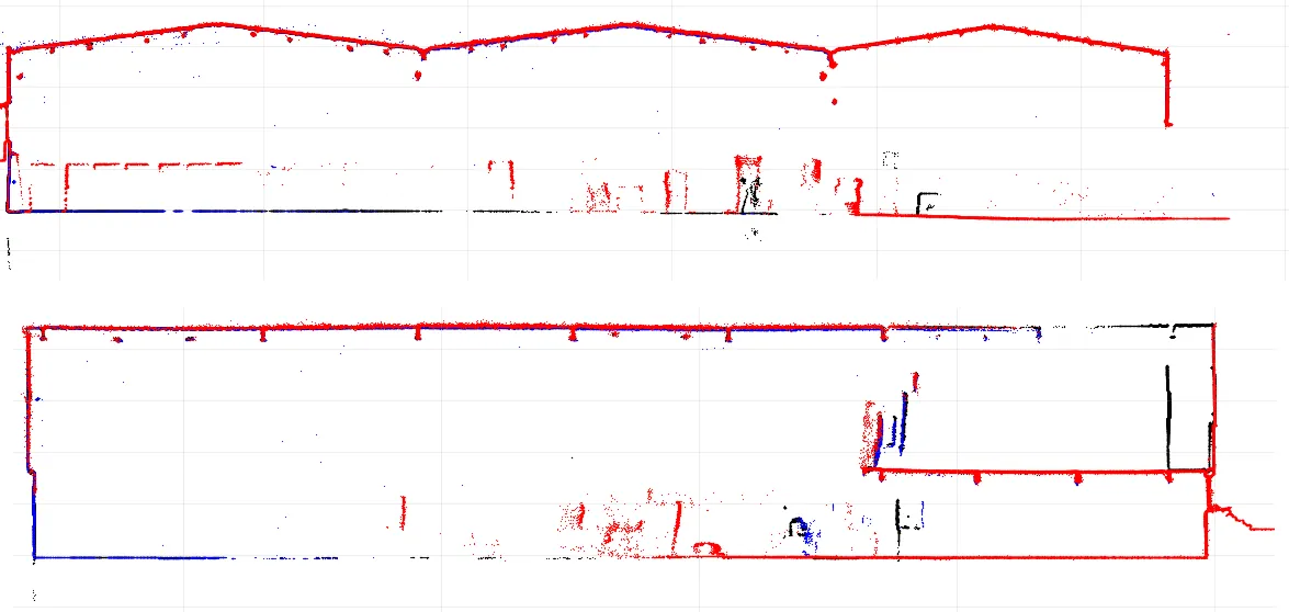
- Processing: with a scanner, a horizontal section of the point cloud is cut at eye level on each level, checked by two further sections; noise and furniture are removed to keep only the walls.
- Drawing of straight walls of constant thickness, fitted to the measured faces, then dimensioning.
- Check: closure of the dimensions, consistency between levels and floor heights.
The areas
The table distinguishes the area of each room and the totals per level. The area expected must be specified from the outset — usable area of the rooms, built area, area of a co-ownership unit — because they are not calculated in the same way. An area certificate signed by the surveying engineer may accompany the plans.
Documents to prepare
- the address and, if there is one, the land title number;
- any old plans, even approximate;
- access to all the premises on the day of the survey.
Frequently asked questions
Do the premises need to be emptied?
No, but the walls must be accessible. Furniture is removed from the drawing.
Can the survey be used for a co-ownership?
Yes, it is its basis; the co-ownership file adds the regulatory plans, the tables and the regulations.
What is the difference with architect's plans?
The architect's plan describes a project; the survey describes what actually exists, with the construction deviations.
Other useful guides
 Scan to BIM: capturing an existing building up to its 3D modelCapturing an existing building with a 3D laser scanner: point cloud, plans, sections and BIM model, georeferencing and quality control.
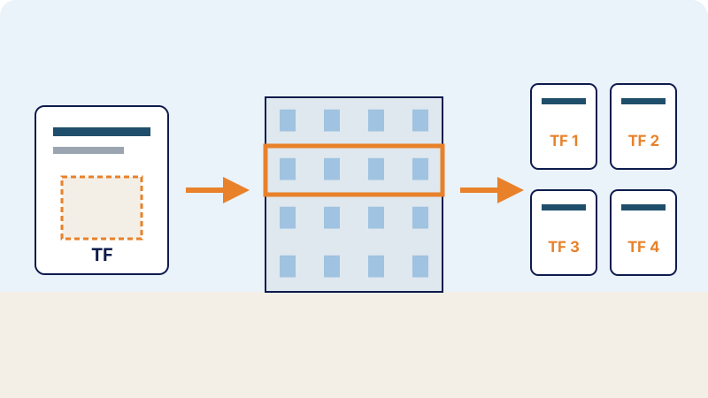 Title reconciliation and co-ownership: how to obtain a land title for each apartmentLand title still describing bare land? Title reconciliation, co-ownership (Law 18-00): steps, documents and the land surveyor's role.
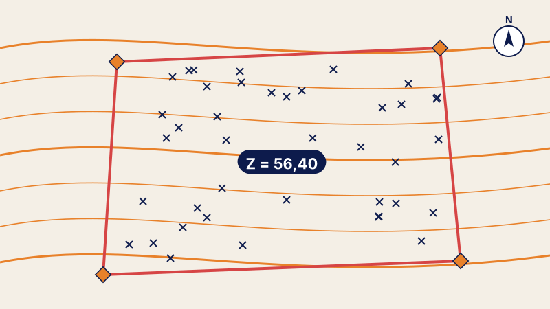 Topographic plan: knowing your land before buildingTopographic plan of a plot under ONIGT Standard 03: survey tied to Lambert and NGM, contour lines, spot heights and files delivered to the architect.
Written by the surveying engineers of DATUM ENGINEERING, a firm registered on the roll of the ONIGT (National Order of Surveying Engineers).
General information article, based on the standards of the ONIGT (National Order of Surveying Engineers) and the ANCFCC (National Agency for Land Registry, Cadastre and Cartography) and on the texts in force on the date of update. It does not replace an examination of your file.