
Your situation
- You own land under adoul deeds, a moulkia or an inheritance, without a land title.
- A buyer or a bank requires a land title before the sale or the loan.
- You want to build on, divide or subdivide unregistered land.
- Your land lies in an area opened to compulsory registration.
What land registration produces
Registration places the property under a regime it can no longer leave. It results in a land title that cancels all earlier titles and extinguishes all earlier rights not recorded on it (Article 1). The land title is “final and unassailable”: it becomes the sole starting point of rights over the property (Article 62).
Registration is optional, but a réquisition once filed can no longer be withdrawn (Article 6). It becomes compulsory in the cases provided for by special laws and in the areas opened by order, where the entry of réquisitions is free of charge (Article 7).
The steps
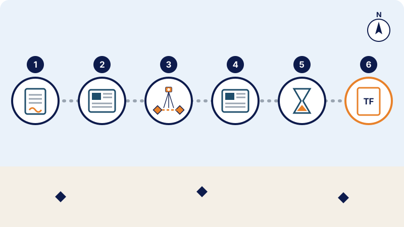
- Filing of the réquisition (application for registration) with the Land Registry responsible for the property, against a receipt (Article 13). It may be filed by the owner, a co-owner or the holder of certain rights in rem (Article 10). The réquisition describes the property: buildings and plantations, area, boundaries, abuttals, names and addresses of the adjoining owners, an estimate of its market value and the origin of ownership. Title deeds and instruments are filed at the same time (Article 14).
- Publication. Within ten days of filing, the land registrar (conservateur) has an extract published in the Official Bulletin; within the following two months, he sets by notice the date and time of the boundary survey (Article 17). These documents are posted at the court of first instance, with the local authority and at the municipality, and sent twenty days before the boundary survey (Article 18).
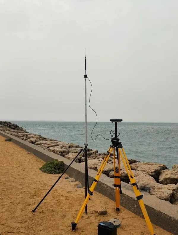
- Boundary survey. The conservateur directs the operation; its execution is delegated to a sworn surveying engineer registered on the roll of the Order (Article 19). The applicant, the adjoining owners and the holders of known rights are summoned. On site, the applicant indicates his boundaries, the adjoining owners make their observations, and the engineer places the boundary markers and draws up a sketch (Article 20), then a boundary survey procès-verbal (official report) signed by the parties present (Article 21).
- Notice of closure of the boundary survey, published in the Official Bulletin and posted, no later than four months after the final boundary survey (Article 23).
- Two-month objection period from the publication of that notice (Articles 24 and 27).
- Registration. If there is no objection, the conservateur registers the property within three months of the end of the objection period (Article 30). The land title describes the property, its boundaries and its area; the plan remains annexed to it (Article 52).
Objections
During the two months, any person who disputes the applicant's right or the boundaries of the property, or who claims a right in rem, may lodge an objection (opposition), in writing or orally, with the conservateur or with the engineer during the boundary survey (Articles 24 and 25). The objector must file his documents and pay the court fee and pleading fees before the end of the month following the objection period, failing which the objection is void (Articles 25 and 32). A late objection is accepted only exceptionally, as long as the file has not been sent to the court (Article 29).
The applicant has one month after the end of the period to obtain its withdrawal or to accept it. The conservateur may reconcile the parties, or split the réquisition and issue a title for the undisputed part after an additional boundary survey (Article 31). Otherwise, he sends the file to the court of first instance where the property is located (Article 32), where a reporting judge investigates the case and may be assisted by a sworn surveying engineer (Article 34).
The role of the land surveyor
- Before filing: survey the land, compute its area, describe its boundaries, its buildings and its adjoining owners, all of which the réquisition must state (Article 13).
- At the boundary survey: the delegated sworn engineer places the boundary markers and draws up the sketch and the procès-verbal; the applicant benefits from preparing his boundaries with a surveyor so as to indicate them without hesitation.
- After the title: land division, merger, subdivision, title reconciliation or re-establishment of boundary markers all rely on the plan annexed to the title.
Points of attention
Attendance at the boundary survey. If the applicant does not attend, no operation takes place (Article 22); without a valid excuse within the month following the formal notice, the réquisition is deemed void (Article 23).
Follow-up of the file. Without action within the three months following a formal notice from the conservateur, the réquisition and its operations are null and void (Article 50).
Good faith. A réquisition or objection held to be abusive, vexatious or made in bad faith exposes its author to a fine of at least 10% of the value of the property or of the right claimed (Article 48).
Frequently asked questions
Is land registration compulsory?
No, it is optional (Article 6), except in the cases provided for by special laws and in the areas opened to compulsory registration by order (Article 7).
Can a filed réquisition be withdrawn?
No: once filed, the réquisition can no longer be withdrawn (Article 6).
How long does the procedure take?
The law sets time limits for each step: ten days to publish the extract, two months to set the boundary survey, four months at most to publish the notice of closure, two months for objections, three months to register (Articles 17, 23, 24 and 30). An objection refers the case to the court and lengthens the procedure.
Can the land title be challenged afterwards?
No. It is final and unassailable (Article 62); in the event of fraud, an injured party only has an action for damages against its author (Article 64).
Who carries out the boundary survey?
A sworn surveying engineer, registered on the roll of the Order, to whom the conservateur delegates the execution of the boundary survey (Article 19).
Other useful guides
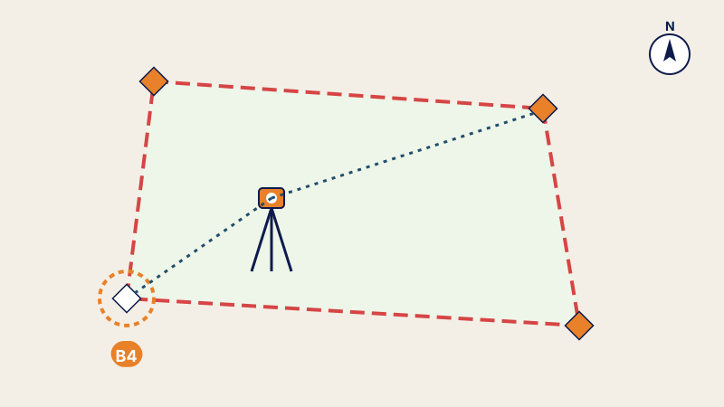 Re-establishment of boundary markers: recovering the exact boundaries of your landMarker torn out or boundary disputed: how the surveyor re-establishes a land title's boundary markers, documents required and procès-verbal issued.
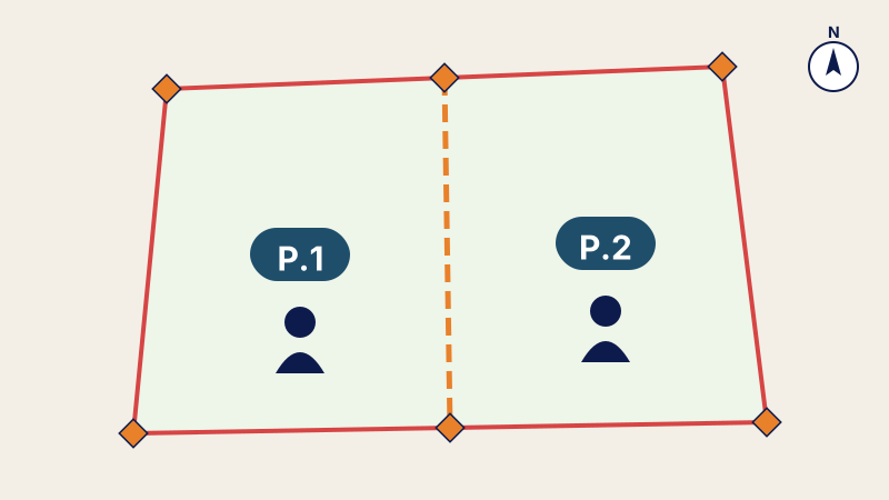 Partition plan: dividing land between heirs or partnersEnding joint ownership: partition plan of a plot between heirs or partners, equivalent lots, land division and new land titles.
 Title reconciliation and co-ownership: how to obtain a land title for each apartmentLand title still describing bare land? Title reconciliation, co-ownership (Law 18-00): steps, documents and the land surveyor's role.
Written by the surveying engineers of DATUM ENGINEERING, a firm registered on the roll of the ONIGT (National Order of Surveying Engineers).
General information article, based on the standards of the ONIGT (National Order of Surveying Engineers) and the ANCFCC (National Agency for Land Registry, Cadastre and Cartography) and on the texts in force on the date of update. It does not replace an examination of your file.