
Your situation
- Heirs wish to divide a plot received through an inheritance.
- Partners wish to separate their shares of a plot bought together.
- A planned sale concerns only part of the plot.
The principle
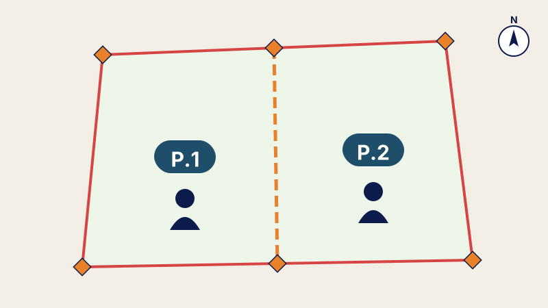
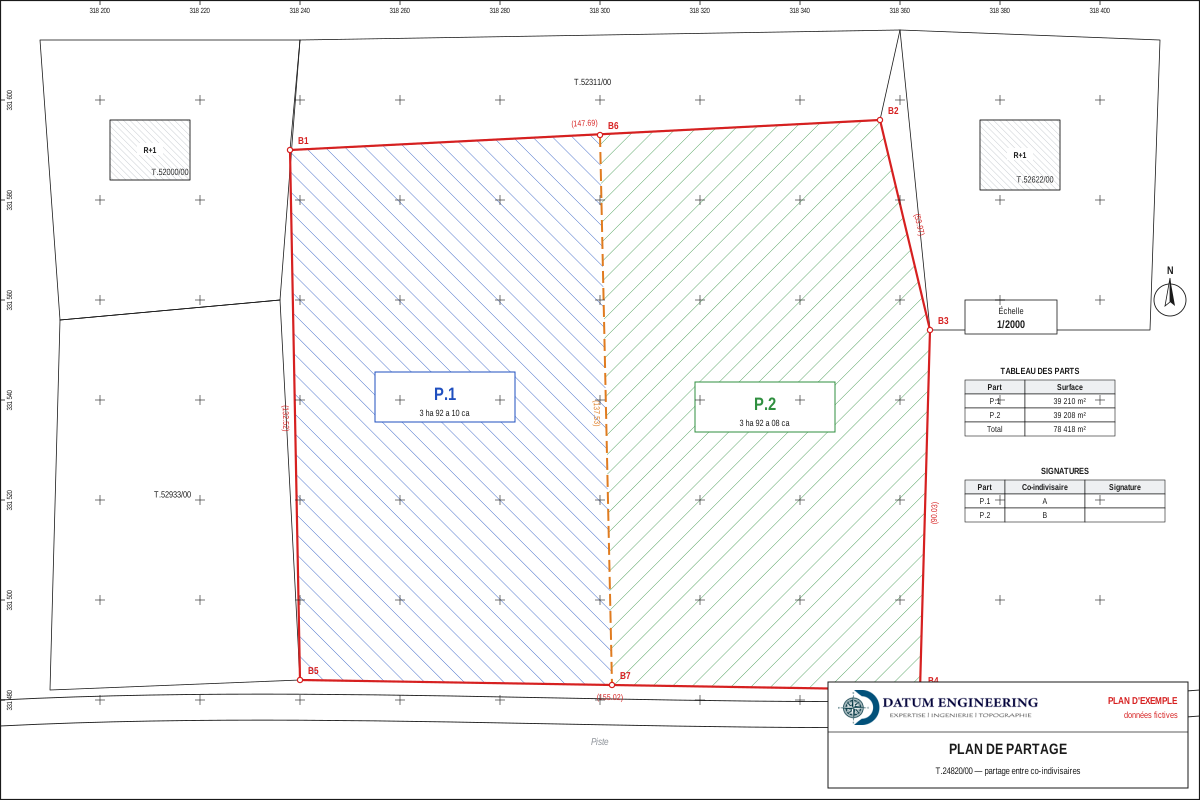
The partition plan divides a land title into shares (P.1, P.2…) allocated to the co-owners. Each share is defined by its boundary markers, its coordinates and its area, so that the sum of the shares matches exactly the registered area of the title. The access to each share and its shape must remain usable.
How it proceeds
- Consultation of the cadastre: plan of the title, boundary markers, registered area, neighbouring titles.
- Field survey and check of the existing boundary markers.
- Proposed division according to the owners' agreement: equal or agreed areas, access, shape.
- Computation of the areas and coordinates of each share.
- Final plan signed by the co-owners.
The formalities that follow
The partition plan is the basis of the agreement and of the subsequent steps. Depending on the situation of the land, the division may require a land division authorisation or, if the lots are intended for building, the subdivision procedure provided for by Law 25-90. This point must be checked before the final plan is settled.
Documents to prepare
- the land title number;
- the list of co-owners and the agreed allocation;
- their identity documents.
Frequently asked questions
Does the partition plan create new titles?
No. It defines the shares; the division then follows the applicable authorisations and procedure before it is entered at the Land Registry.
What about a building that is already built?
To allocate apartments, the appropriate route is co-ownership, not the partition of the land.
Other useful guides
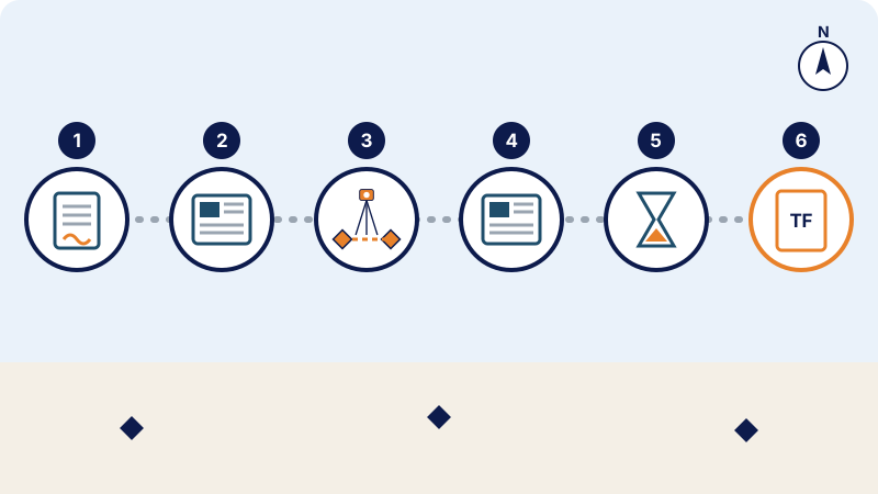 Land registration in Morocco: the steps, from the réquisition to the land titleRéquisition, publication, boundary survey, objections and land title: the steps of land registration in Morocco under the 1913 dahir as amended by Law 14-07.
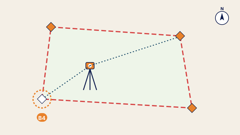 Re-establishment of boundary markers: recovering the exact boundaries of your landMarker torn out or boundary disputed: how the surveyor re-establishes a land title's boundary markers, documents required and procès-verbal issued.
 Property valuation: how the value of an apartment or a plot of land is estimatedInheritance, sale, partition or loan: how the market value of an apartment or a plot of land is estimated in Morocco, methods and documents.
Written by the surveying engineers of DATUM ENGINEERING, a firm registered on the roll of the ONIGT (National Order of Surveying Engineers).
General information article, based on the standards of the ONIGT (National Order of Surveying Engineers) and the ANCFCC (National Agency for Land Registry, Cadastre and Cartography) and on the texts in force on the date of update. It does not replace an examination of your file.