
When is it needed
- Handover of a subdivision or of roads and utilities works.
- Sewerage and drinking water networks.
- Updating the plans of a site.
Our work
- Basis. Approved plan or design in DXF.
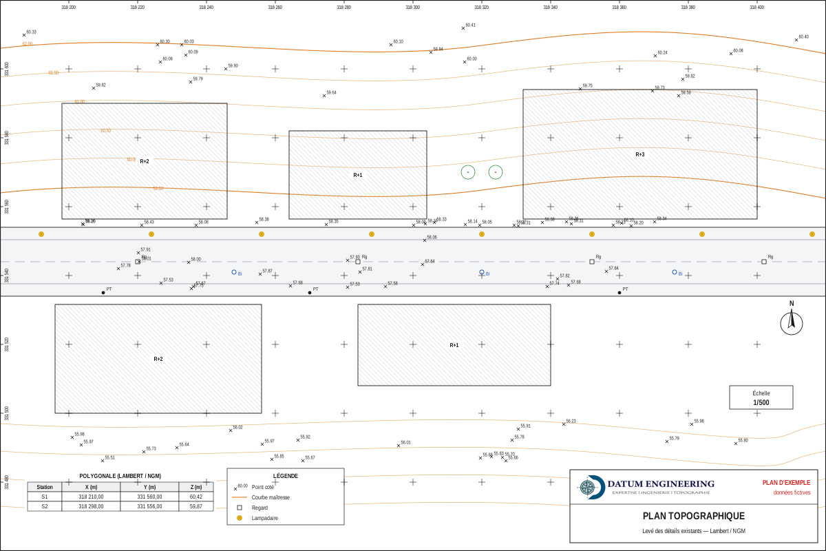
- Survey. Final state of roads, kerbs, manholes, buildings.
- Comparison. Deviations from the design, encroachments and setbacks.
- Schedule. Coordinates (X, Y, Z) of the manholes by sewer line.
Examples of assignments
- Handover of a subdivision
- Sewerage network
- Roads of an industrial zone
What you receive
- As-built plan in DWG and PDF
- Schedule of structure coordinates
- Deviations from the design
Reference framework
- ONIGT (National Order of Surveying Engineers) Standard 08 (as-built)
- ONIGT Standard 10, appendices 12 and 13
Where we work
The firm is based in Aïn Sebaâ and works in the sixteen districts of Casablanca (Anfa, Maârif, Sidi Belyout, Al Fida, Mers Sultan, Aïn Chock, Hay Hassani, Ben M'Sick, Sbata, Moulay Rachid, Sidi Othmane, Hay Mohammadi, Roches Noires, Aïn Sebaâ, Sidi Bernoussi, Sidi Moumen), in Mohammedia, Bouskoura, Dar Bouazza, Nouaceur, Médiouna, Berrechid, Benslimane, Settat and El Jadida.
Further reading
Frequently asked questions
Does the as-built plan show buried networks?
It records the visible structures; pipes are only accurate if they were surveyed before backfilling.