
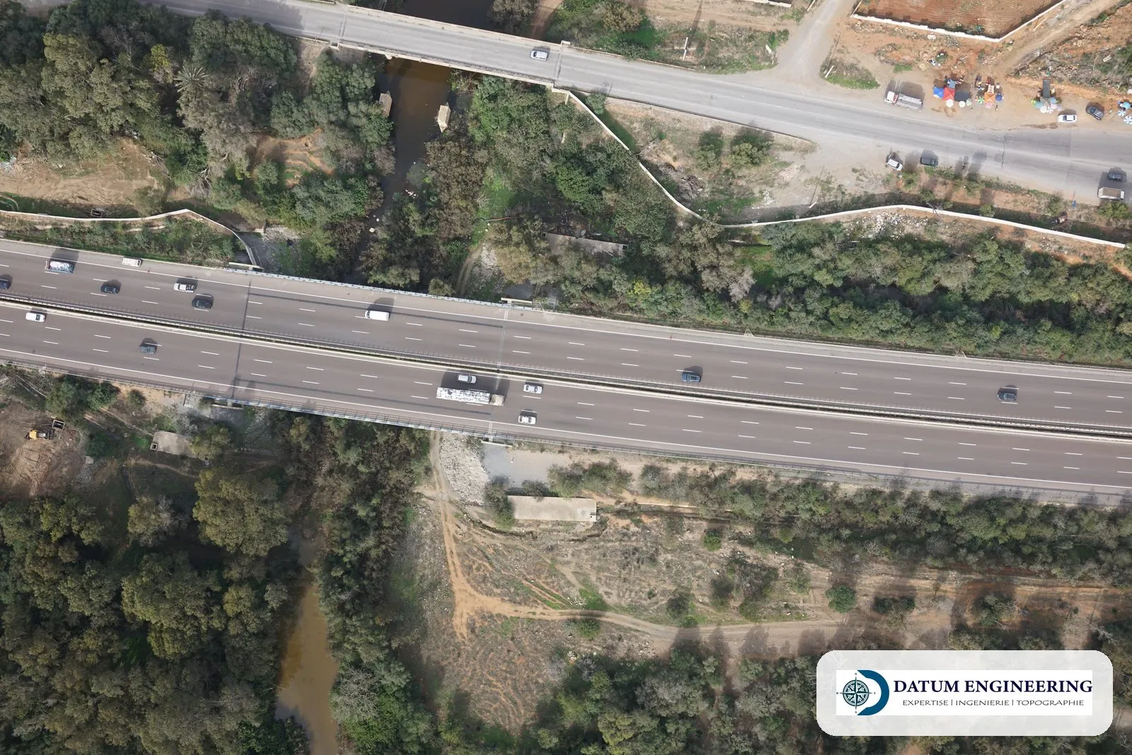
Structures monitored
- Roads, bypasses, access tracks.
- Roads and utilities (VRD): sewerage, drinking water.
- Tunnels and trunk sewers (Standard 11 of the ONIGT, National Order of Surveying Engineers).
- Port and industrial platforms.
Our work
- Control network. Traverse and levelling benchmarks accepted.
- Staking out. Centrelines, rights-of-way, structures and manholes by chainage.
- Checks. Formation levels, pavement layers, trench bottoms.
- Quantities. Cross-sections and volume computation for interim statements.
Examples of assignments
- Access track to a quarry
- Access roads to an energy site
- Roads and utilities of a subdivision
- Sewerage network
What you receive
- Staking-out reports (procès-verbaux)
- Checked profiles
- Volume statements
- Regular reports
Reference framework
- ONIGT Standard 10 (roads and sewerage)
- ONIGT Standard 11 (tunnels)
Where we work
Based in Casablanca (Aïn Sebaâ), the firm carries out this service throughout Morocco: Greater Casablanca, Rabat-Salé-Témara, Fès, Tangier, Agadir, the Oriental and the South. Its survey crews travel to the site for the duration of the assignment.
Projects of the firm
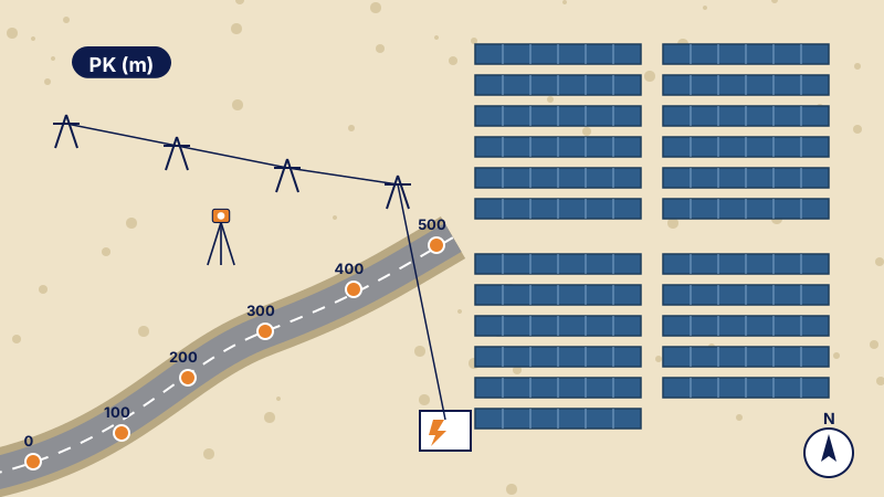 Survey of access roads to solar plantsTopographic survey of the access roads to solar plants and their connection lines: method and deliverables.
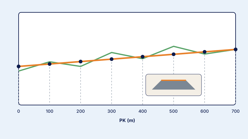 Topographic monitoring of a quarry roadDaily topographic monitoring of the construction of a quarry access road: setting-out, profiles and checks.
Further reading
Frequently asked questions
Can monitoring be daily?
Yes, during the earthworks and pavement phases.